Lightning showed bright against a day-bright sky made night by the storm. ” My uncle got struck seven times! “. The six of us were sheltering together on the city park campground and the girl had her daughter in her arms, comforting her. ” Then he commited suicide “. This overheard story did nothing to ease our lightning storm fears. By total fluke, our day off the bikes in Lander coincided with weather you would not wish to bike in. It was not even mentioned in the forecast, which makes our decision doubly sweet. Hurrah for Team Sportswool and our questionable work ethic.

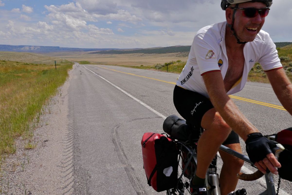
You hear people reminisce about their time on the TransAm route. One of the things you never hear them say is ” Well, I wish I had done it faster “. It is almost our motto and certainly a good excuse to stay in Frisco a little longer. We had the altitude to get used to, but after four days it was time to get going or stay for ever. Out of Frisco and along one of the lakes on the most perfect of bike paths. It was overcast and cool, both of which were more than fine by us. We are descending, dropping down bellow the 8,000 ft mark. I can function again. Colorado has more vehicles with dogs hanging out of open windows than anywhere in the world. For a state full of bike loving hippy types its drivers are anything but passive. HWY 9 is making us jumpy with trucks tight in on our elbows. A right at Kremmling and we pick up the Colorado River.
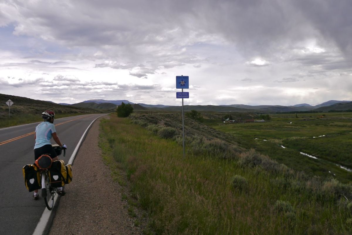

Even the wildlife is a bit feisty. I get stung on the chest by a bee for almost no reason at all. A storm is pushing in, rolling over from the mountains to our right. It pulls in air, dragging us forward and along the road at speed. We sail for 16 miles, but then it is too close for comfort out on the road. We dive into a barn for shelter. There is not a drop of rain where we are but we sit and wait for clearer sky before we get back on the bikes. A perfect pitch at a free camping spot alongside the Colorado River at Hot Sulphur Springs. It is still 7,643 ft high here, but feels like heaven – which of course if it exists would be much higher. I am enjoying beautiful fresh lungfuls of air again. You do take breathing so much for granted. Mosquitos spoil the day and it is on with repellant for the first time.


The temperature plummets with the pin sharp clear sky of the darkest of nights. Out the next day and along the river gorge and into the heart of Cowboy Country. Sage bushes and open grazing for thousands of beef cattle. I am inspired to note down a poem in a country style.
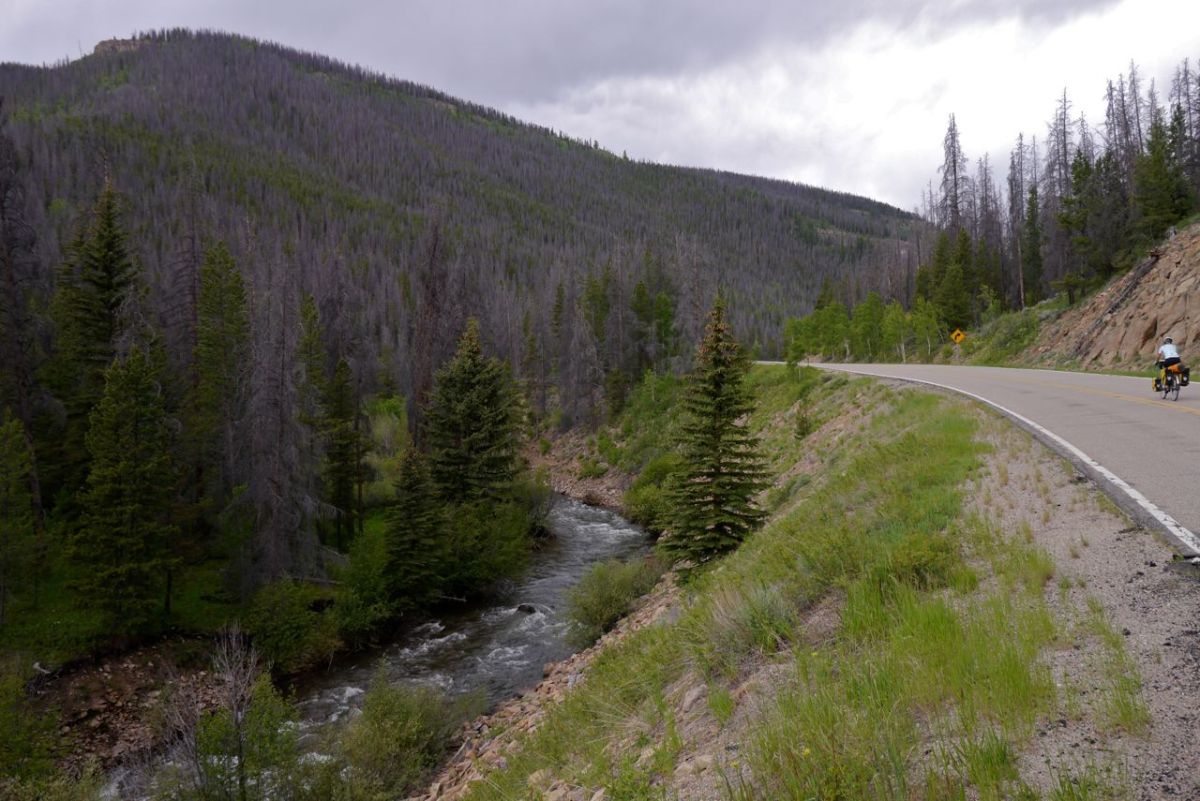


“It’s been lonesome in the saddle since my horse died – the wind did blow and the sun was high. He’d been the friend beneath my seat – but now he’s just 400 lbs of meat.” I may return to this some time. As for now, we are climbing and will regain all of yesterday’s descent and more as we climb towards our second crossing of the Continental Divide. This may be the most beautiful climb we have yet done and I am channeling my inner Ansel Adams. At 9,000 ft last nights drop in temperature has left a sprinkling of snow on the higher peaks. Frogs call their frog greetings from creeks to our left and right. They have a short season for life and are making the best of the warmth. Alpine flowers are blooming in high meadows.

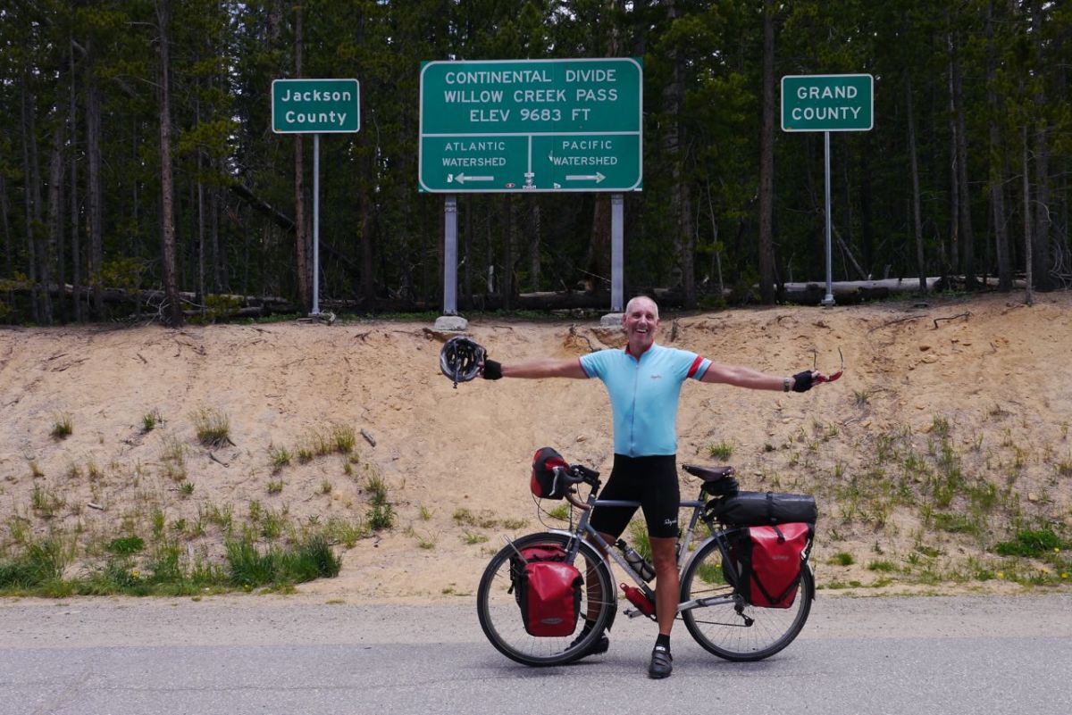
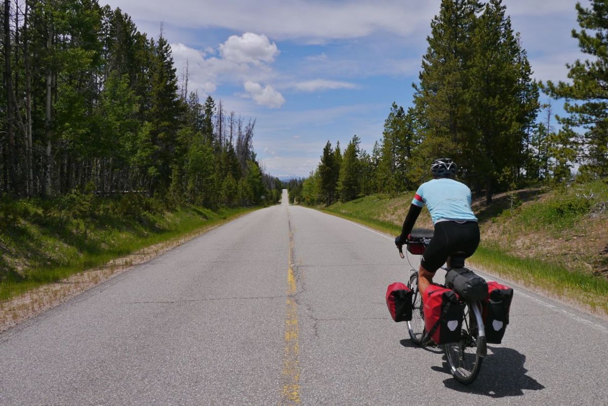
At 9,683 ft we crest the divide and now the road is fringed by tall trees for a fast descent to the first of the High Plains. First the road spoils the fun by kicking up, forcing a quick fumble for the Granny Gear. High winds slam mosquitos into our faces as we pick up speed. For many miles ahead the thought will be that a puncture would be the start of a very bad 15 minutes of blood letting to these air born Piranhas.


We are exposed to the wind in all directions as we enter the plain. It is of course right in our faces now and no amount of grabbing the drops and tucking low is making any difference. The gps shows a steady but continual bend to the right up ahead. It is sharp enough to warrant a caution sign and is possibly the most glorious right bend there ever was on any road anywhere. It turns a brutal headwind into what eventually becomes a side and then tail wind. We pass into Wyoming and out of Colorado with very little fanfare and the town of Walden comes up. The plan is to hide in a motel and let the mosquitos go hungry.


It is high plains biking for the next day, with views to far horizons and the very present attention of those blasted mosquitos. Saratoga and our camp spot for the night comes up and we disappear into an ice cream cafe to kill some time before pitching. Just outside of town is Saratoga Lake Campground. Storms build in the mountains, Pelicans fly by and we are thankful beyond belief for the invention of modern tents and integrated bug netting technology.


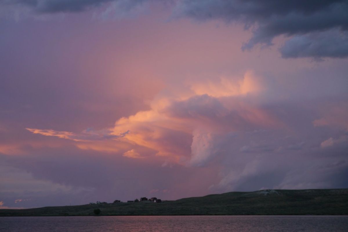
The morning is cool and crisp as a winters dawn. Wind is our enemy again and joy of joys, it is totally still. Just 50’f as we bike down the rough track and out onto HWY 115. Early into our day, a left turn brings back the wind and we take a stiff climb onto HWY 125. Sage bushes stretch to the horizon and fill the air with fresh aromas. Blue mountain Iris grow in the wet areas close to the road drainage. The miles pass and my mind is a blank. Antelope watch our slow passage across vast horizons and infinite roads.


Wyoming is windy, very windy. We are getting an easy time of things except the close attention of mosquitos. These are devils and capable of inflicting a bite at 15 mph. This has never happened before. I speed up and get bitten at 18 mph. A hill comes up and at just 8 mph it is torture of flapping arms, swearing and swerving. Roads are so sparse here, there is no alternative to Interstate 80. We are up amongst the traffic, but the bigger acreage of tarmac is less favorable for the Mossies. There is 13 miles of slalloming around hub caps, broken bolts and road detritus until we take the turn for Sinclair and a ride by the ‘ Most Modern refinery in the West ‘. Quite a boast I’m sure you will agree. Sinclair is a big oil company which may be named after the village and possibly the other way around.


McDonald’s on the outskirts of Rawlings, and I think you will agree, we deserve it. It is of course back out into the dry heat and vastness of sky. This is the area where the pioneering settlers forced their way towards an uncertain future in the West. The landscape has changed so little since their passage that you can still see the ruts made by their carts. Often they navigated by sighting a notch in distant mountain ranges and heading straight for days. They were tough beyond comprehension and self reliant beyond words. We pick up HWY 287, which is having a bit of a well needed makeover.
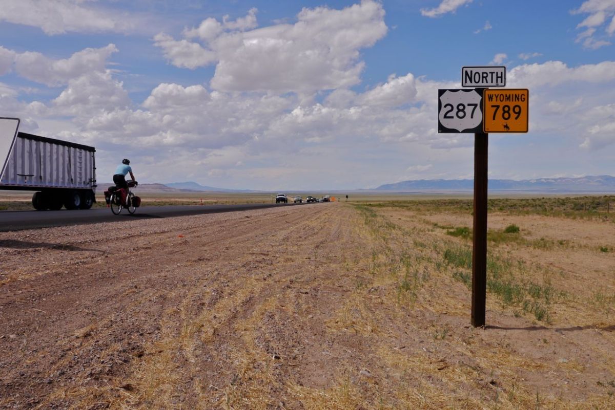


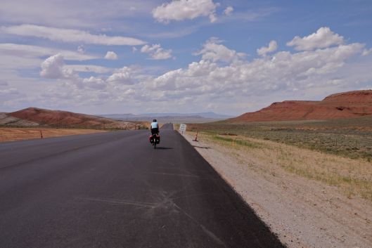
I click the zoom-out button on the gps 1 click, 2 click, 3 and the road is still straight as an arrow. We have to pray for a favorable wind.Down we drop into the Great Divide Basin. We have biked in nothing like this before. It is like taking a ride in Mammon’s Kitchen. It is the heat of hell reflecting back up off new black top. 86 miles after starting the day, we pitch the tent beside the ‘ Motel ‘ in Muddy Gap Services. The evening storm is readying itself for a show, with oil black hammer head clouds building above the pink granite outcrops and mountain chains. When it hits, the storm is intense. Lightning jumps from cloud to cloud and ground strikes right in front of us.


We sleep in our clothes for the first part of the night, ready to run to safer shelter. By the greatest good fortune, the worst of the storm keeps its distance. The tent takes a hammering from the wind but our new Big Agnes tent sheds the wind better than our previous Agnes. We feel safe. This is good after a hard day and a bit of a sense of humour deficiency towards the ride end. We go to sleep with bright bursts of lightning throwing contrast intense shadows onto the rain fly.
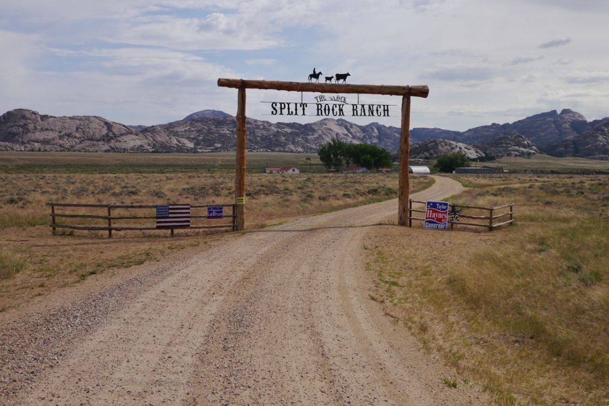

Another hard day begins with a steep climb on HWY 287 towards Jeffrey City. A Bald Eagle tracks the sky above us. The pioneers may have just gone through the valley. Photography is painful. The brief pause to bring the camera from the front box is enough for mosquitos to swarm. The shot is taken quickly and I pedal away to screams and curses with additional slapping of as much of my body as I can reach. We pass Split Rock , one of the wagon train navigation marks. Jeffrey City is bleak but welcoming. It has a church which is soon to close – ” There are enough people to keep a bar open but not a church “, is the explanation. The diner is one of many out here where from more han 6 ft away it is impossible to tell if it is open, closed or gone bust 15 years ago.

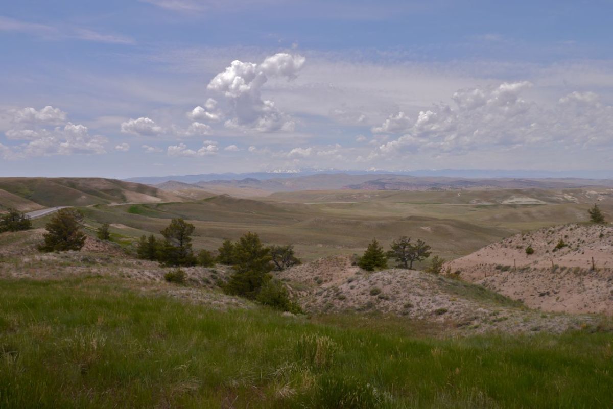

Our road drops down into deep canyons. The best thing, and this is much better than even the spectacular scenery, there are fewer mosquitos. My legs are complaining, aching with every turn when power is needed. 22 miles to Lander and I have made an unbreakable pact with my legs – ‘ get me to Lander and you can have the day off ‘. This is spectacular biking through paintbox landscapes.


The wind is with us and the road drops, taking us into the canyons with us. This would be a hard day from the other direction, brutal even. Lander comes up after more main road biking than I would want at the end of a day. The city park allows camping for free and may possibly be the best in the USA. It is welcoming, clean and our home for two days. I am almost too tired to sleep, which is every bit as bothersome as being too hungry to eat. Next morning I take myself off to the bathroom block. Time and again I wonder if I am in the children’s. The toilets are so all inclusive that they are so low to the ground as to be comical. Not so funny when I try to get up and find my legs can not get me off the pan. Time for a two day rest from the bike. There are big hills ahead and spectacular scenery that I want to have enough energy to enjoy. Not sure the pioneers took in the view much, but it is spectacular country, and more of the same up ahead.


