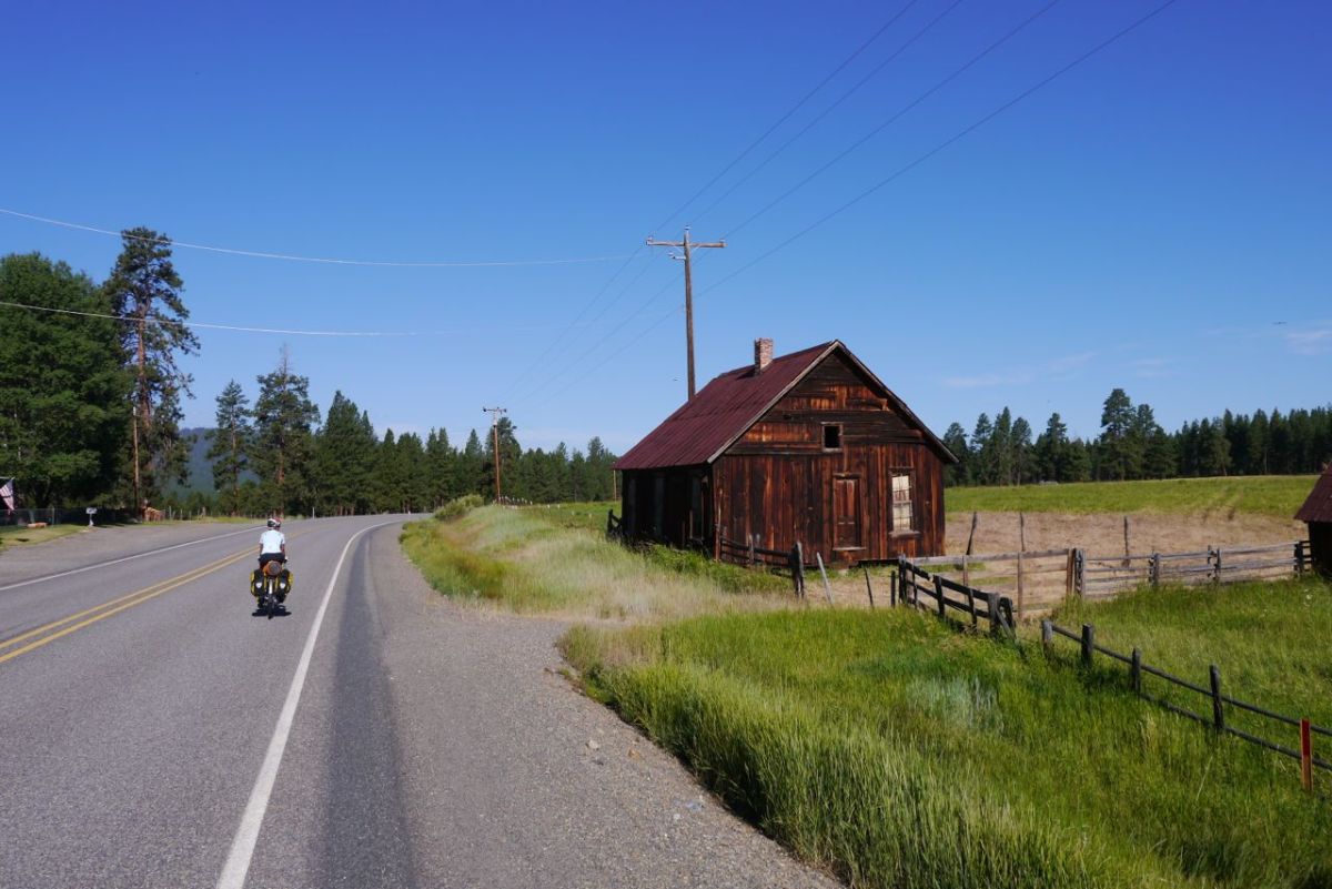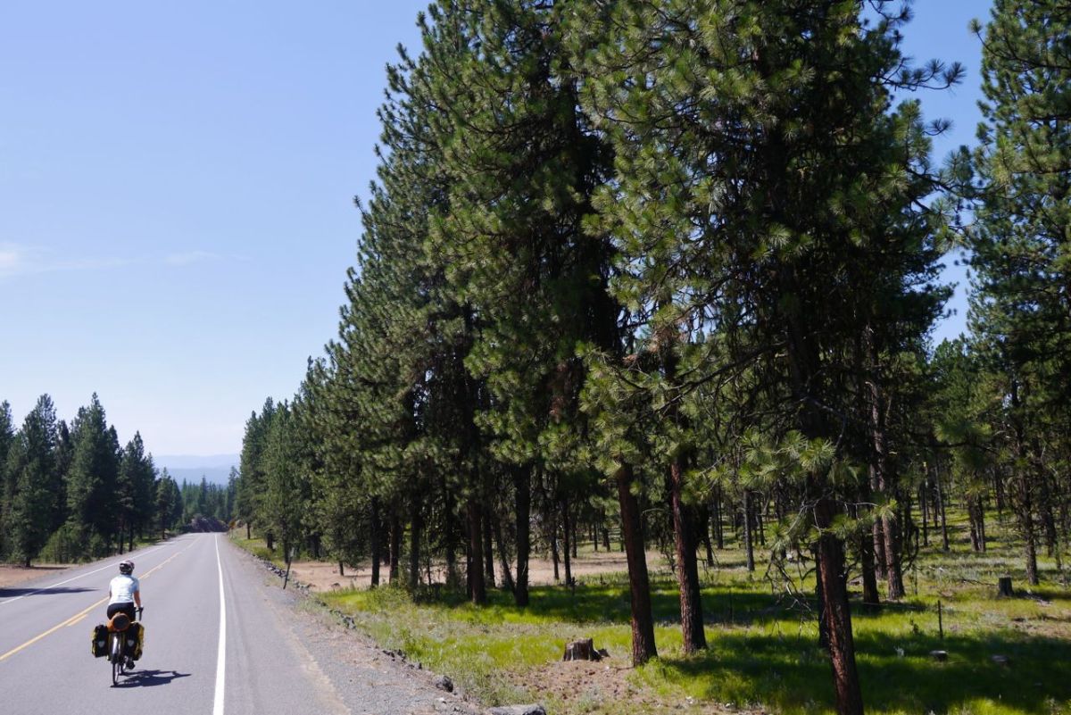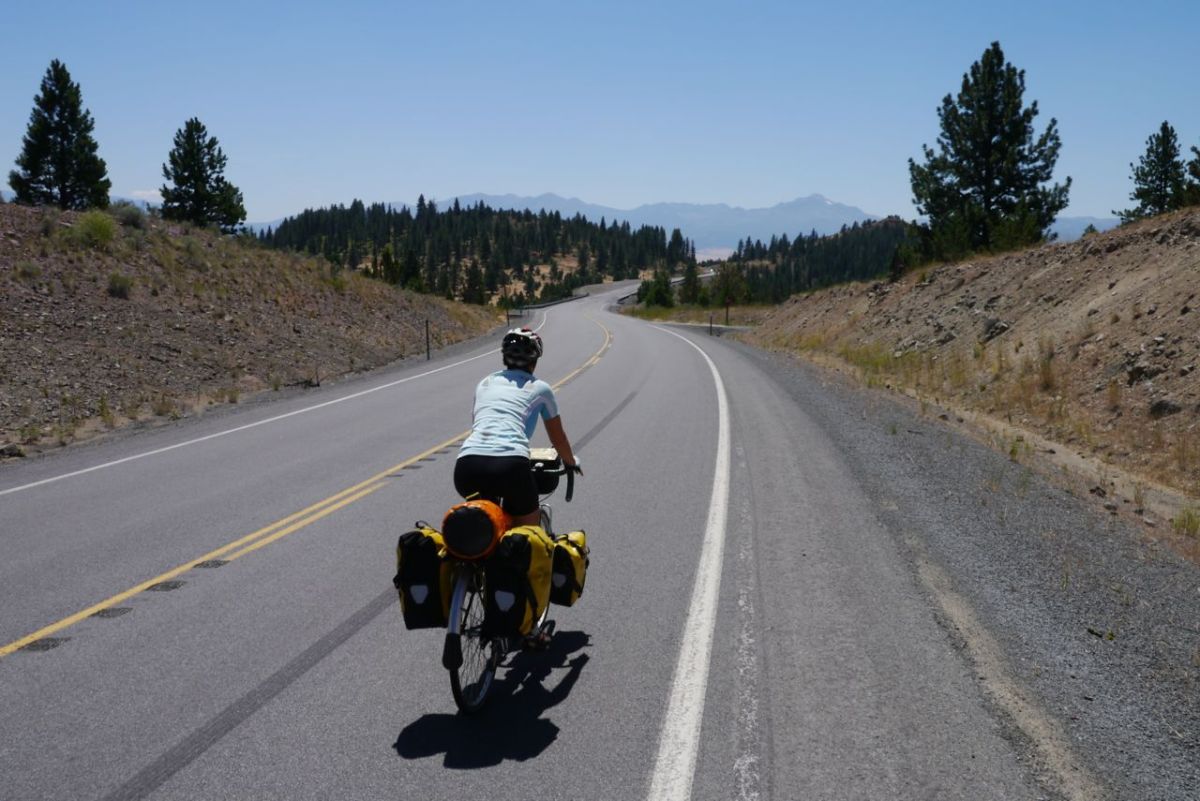
Eugene, Oregon and we are almost there.


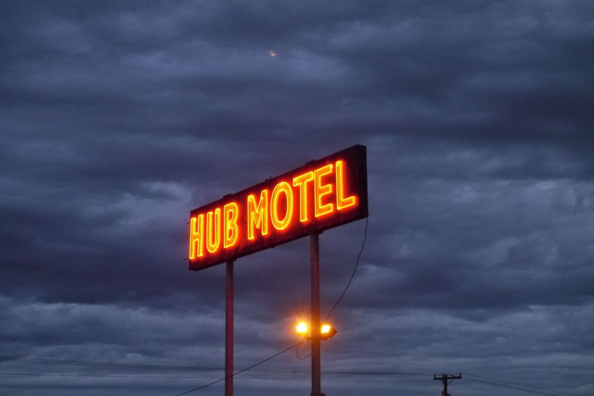
Hub Motel, Redmond, Oregon.

If you had asked my 10 year old self if I would ever stop playing with LEGO, I am sure I could not imagine the day would ever come. I wish that I could have marked the last time I took out those blocks, to know the significance at the time. At the moment, I know that we will climb up through Pine trees and take in lungs full of resin just one last hot day time on this trip. At every time that we have that sensory overload I am trying to commit that moment to deep memory. It may be the last in my life.
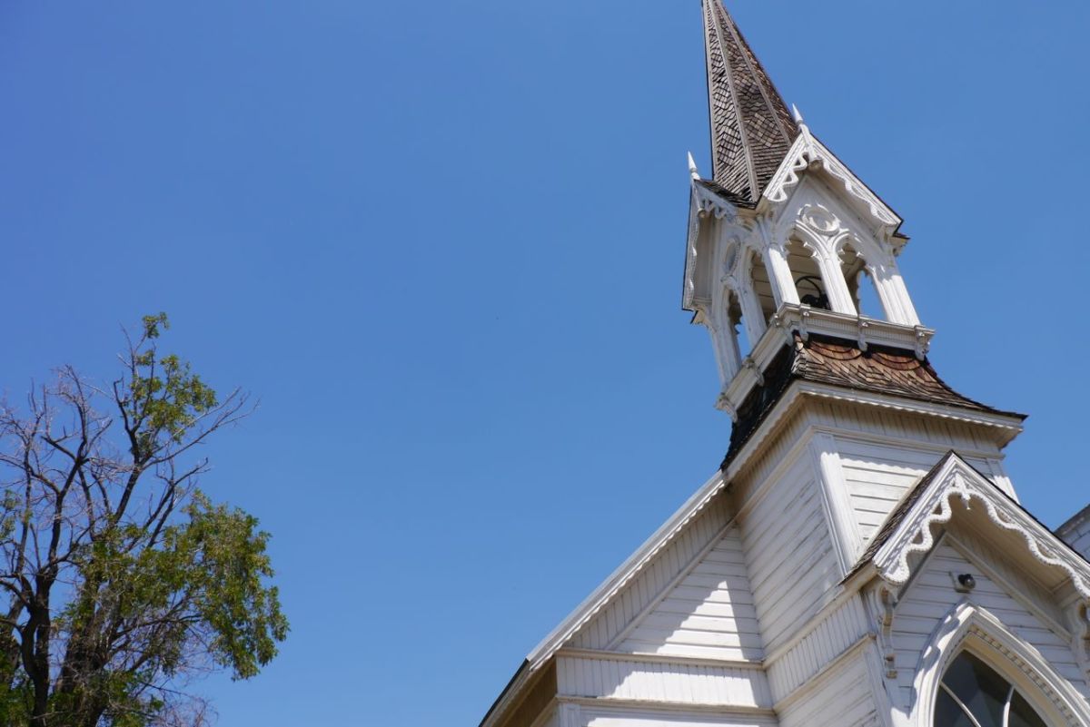
Church in John Day, Oregon.

Already we have seen our last Turtle, the last Cardinal and did not know it at the time. Soon we will have biked from sea to shining sea, as I guess they may say here and soon it will be cool and maritime and back to things we know and feel comfortable with. Too much like home perhaps.
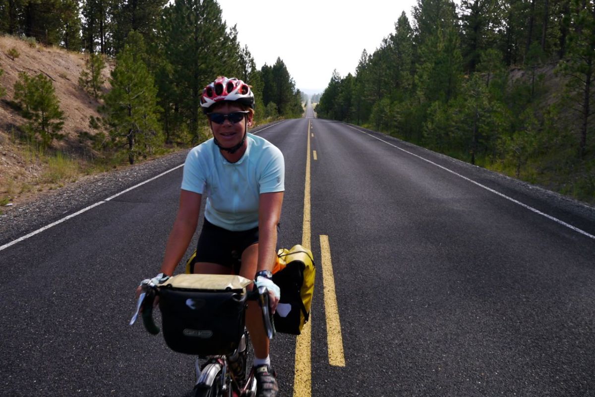
Early morning,
Early morning,

There is talk about the road ahead being open in the morning. We took a rest day in John Day to try to work out what to do. We could go north to the coast, but it takes us into high desert once more with big mountains and a trip to the coast along busy roads. GOOGLE maps did not show many options, but then we get a good old paper map. There it is, the answer is obvious. It is even surfaced. We are back in business, and it only adds about 50 miles.
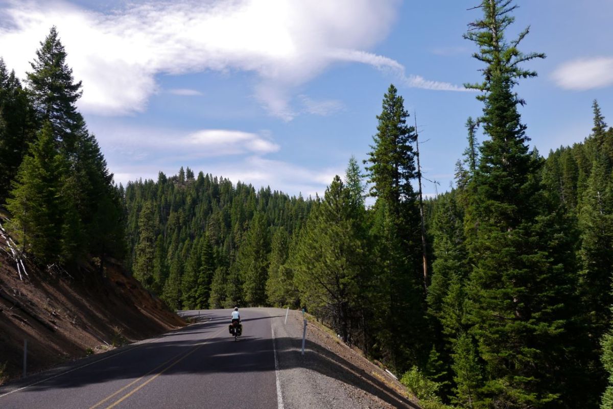
Climbing in Trees!
Climbing in Trees!

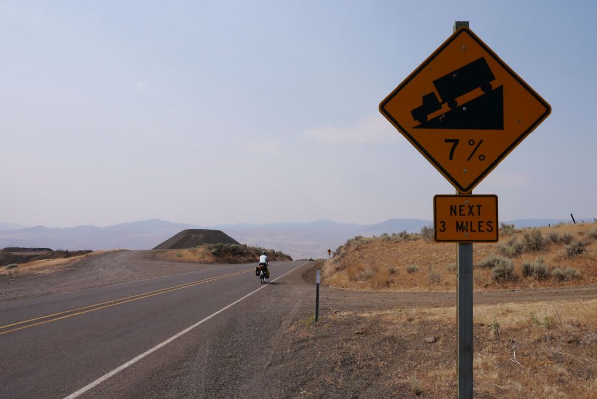
No diversion is ever shorter or flatter. This begins with a big climb straight from main street. The biggest climb on the route ahead is McKenzie Pass and this climb is bigger. 1969ft of climbing later on HWY 393 and we are at the top. We take a right turn towards Paulina – 55 miles ( the sign quite clearly says 55 miles and I have no idea how it could be 7 miles out – we will curse this in a few hours time when we think we have made a terrible navigational error on a straight road! ). This is very nice biking and we pick up this quiet road as it winds its lonley way between the mountains. There are trees and flower dashed meadows and more chipmunks run across the road in front of us than you would think possible.
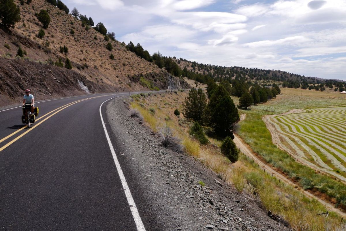
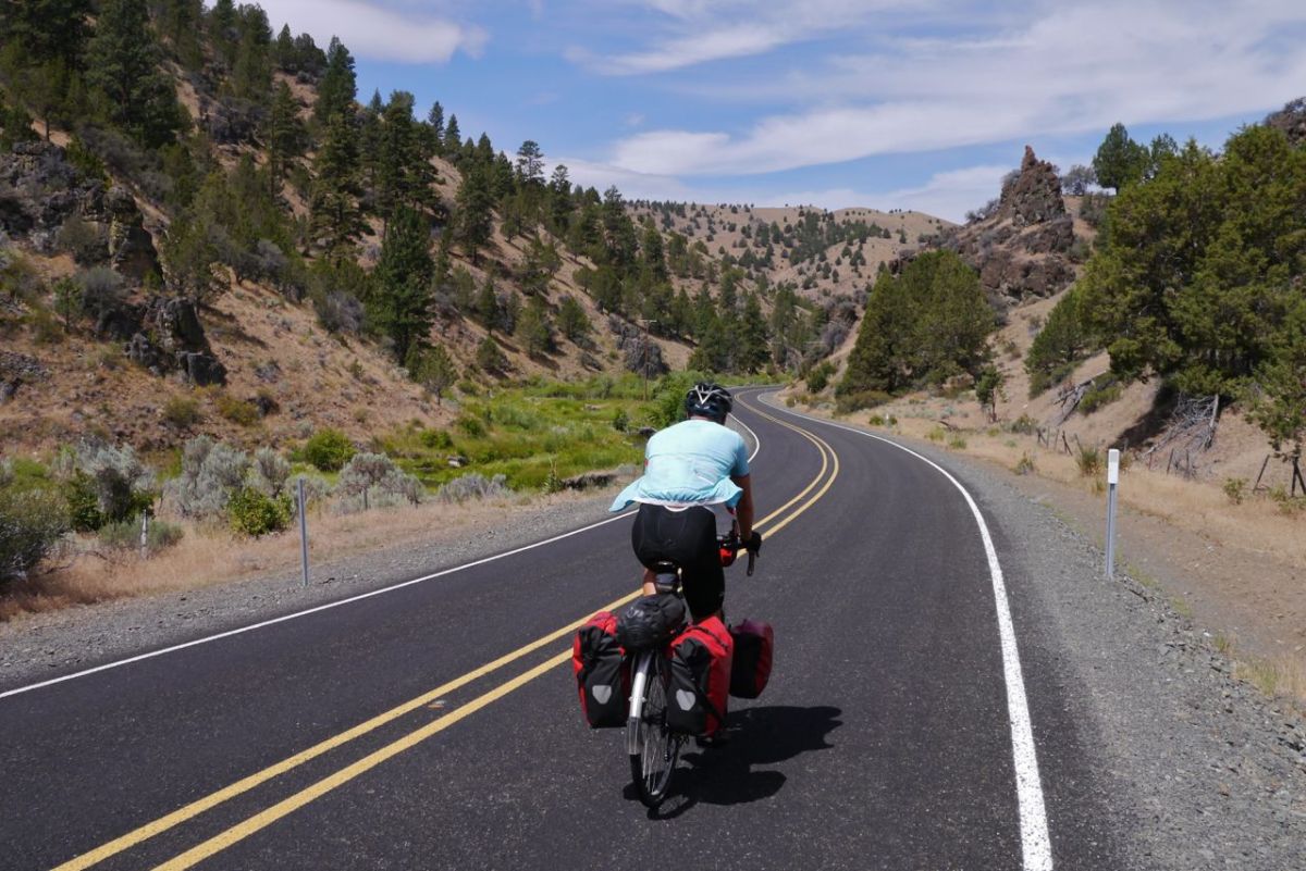
Road along fields.
Road along fields.


OUr Detour route towards Paulina, Oregon.
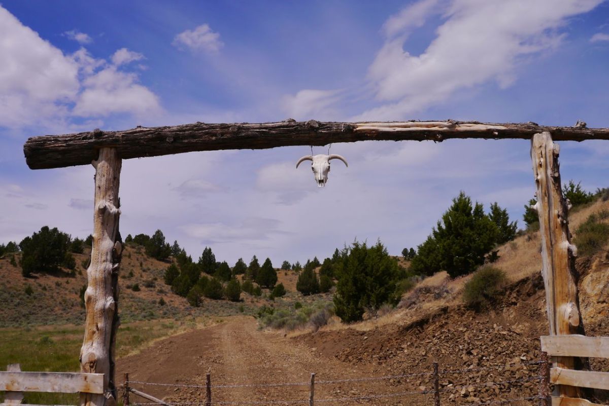
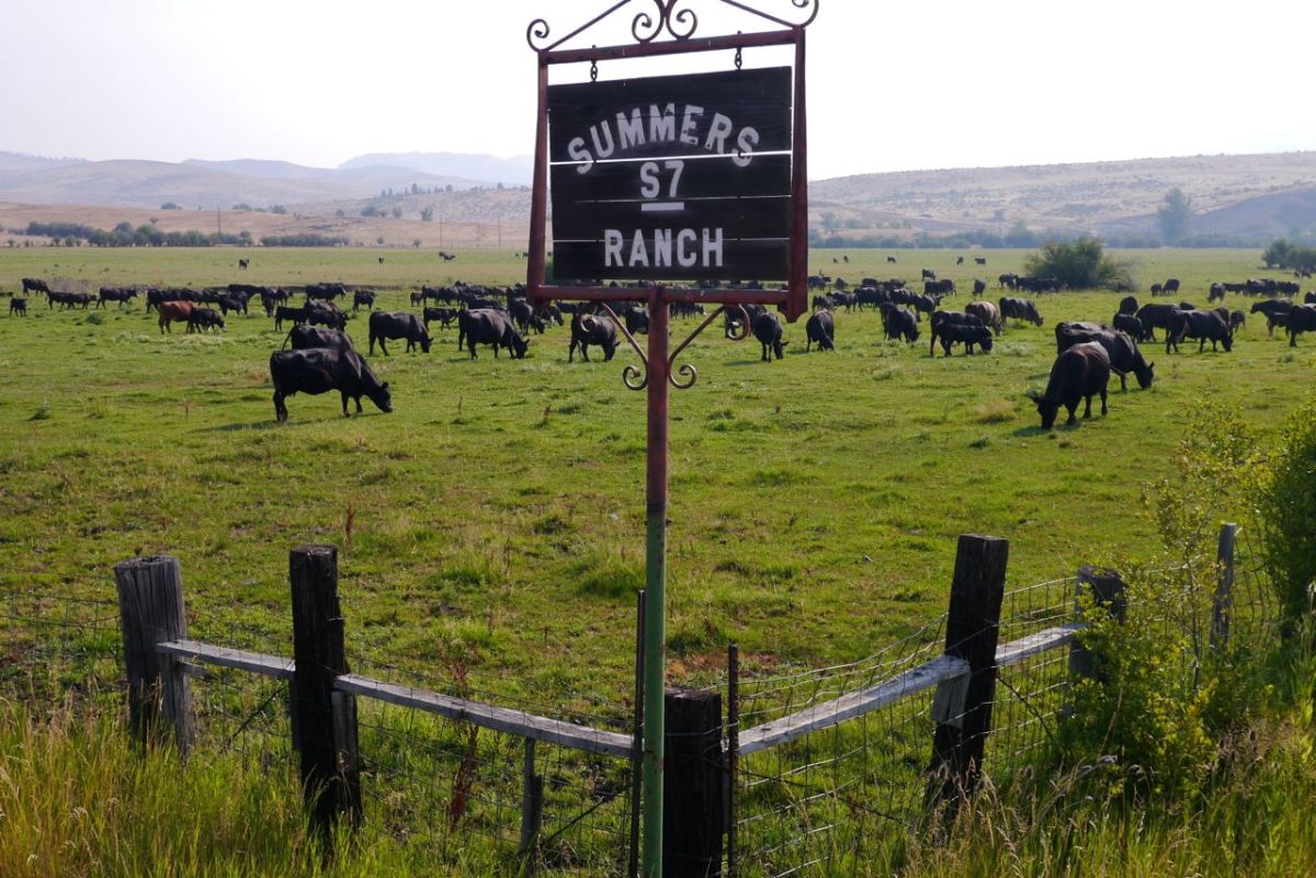
Gate to a ranch.
Gate to a ranch.
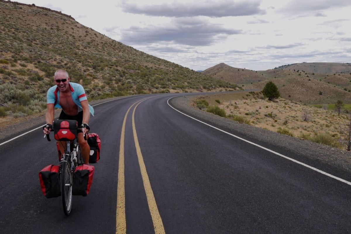
A gradual climb.
A gradual climb.

The first half of the ride is through trees and joy of pure joy, there are clouds. Just when the trees drop behind, the hills start and the heat builds. It is rolling high pasture, but there is still a welcoming green and the sound of running water. Paulina is a full 7 miles further than the signpost said – we curse, it feels like an eternity.
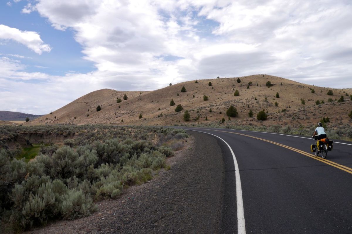
The last climb before Paulina, Oregon.


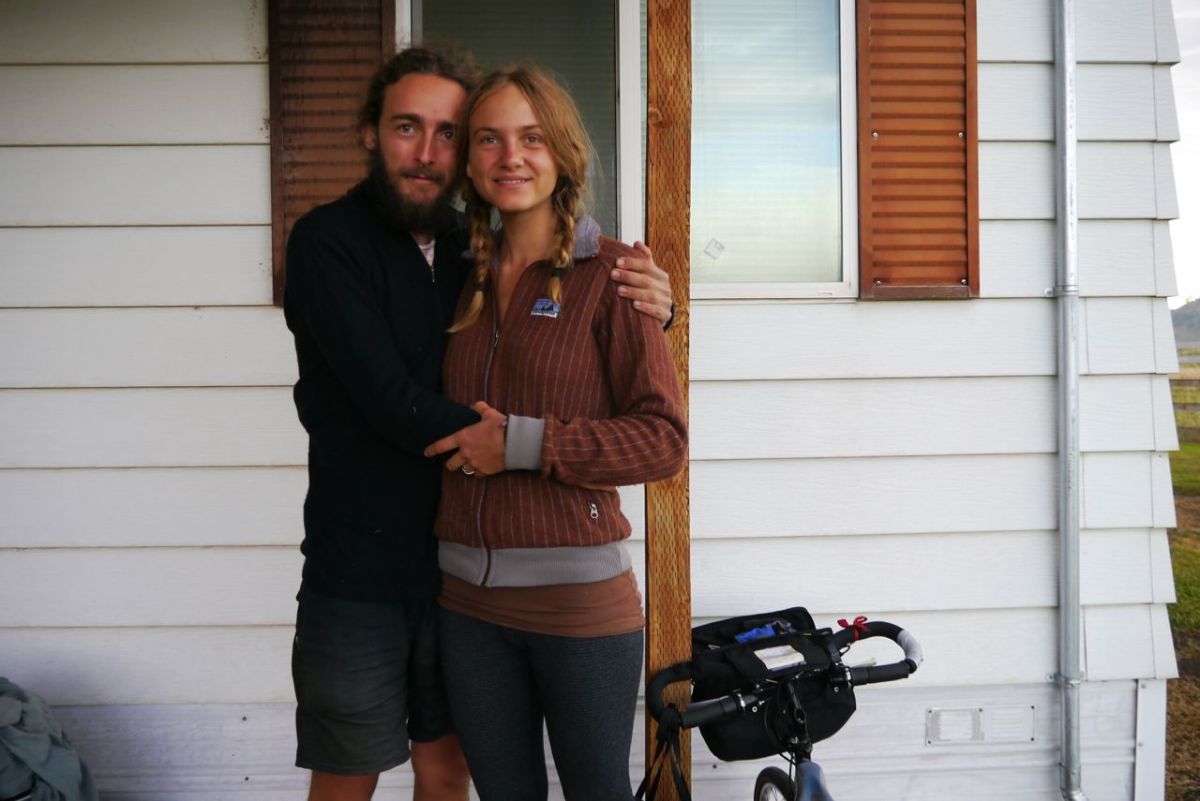
Davie and Po, Travellers.
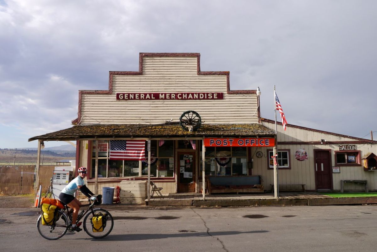
The store in Paulian, Oregon.

Paulina and as we lie in the tent there are raindrops on the fly. The sound is wonderful, but it is the smell of burning that we will remember. Just across the road flames had looked as if this town may need to be evacuated yesterday. At 2.30 am the rain is joined by an assault by the sprinkler system that we had overlooked.
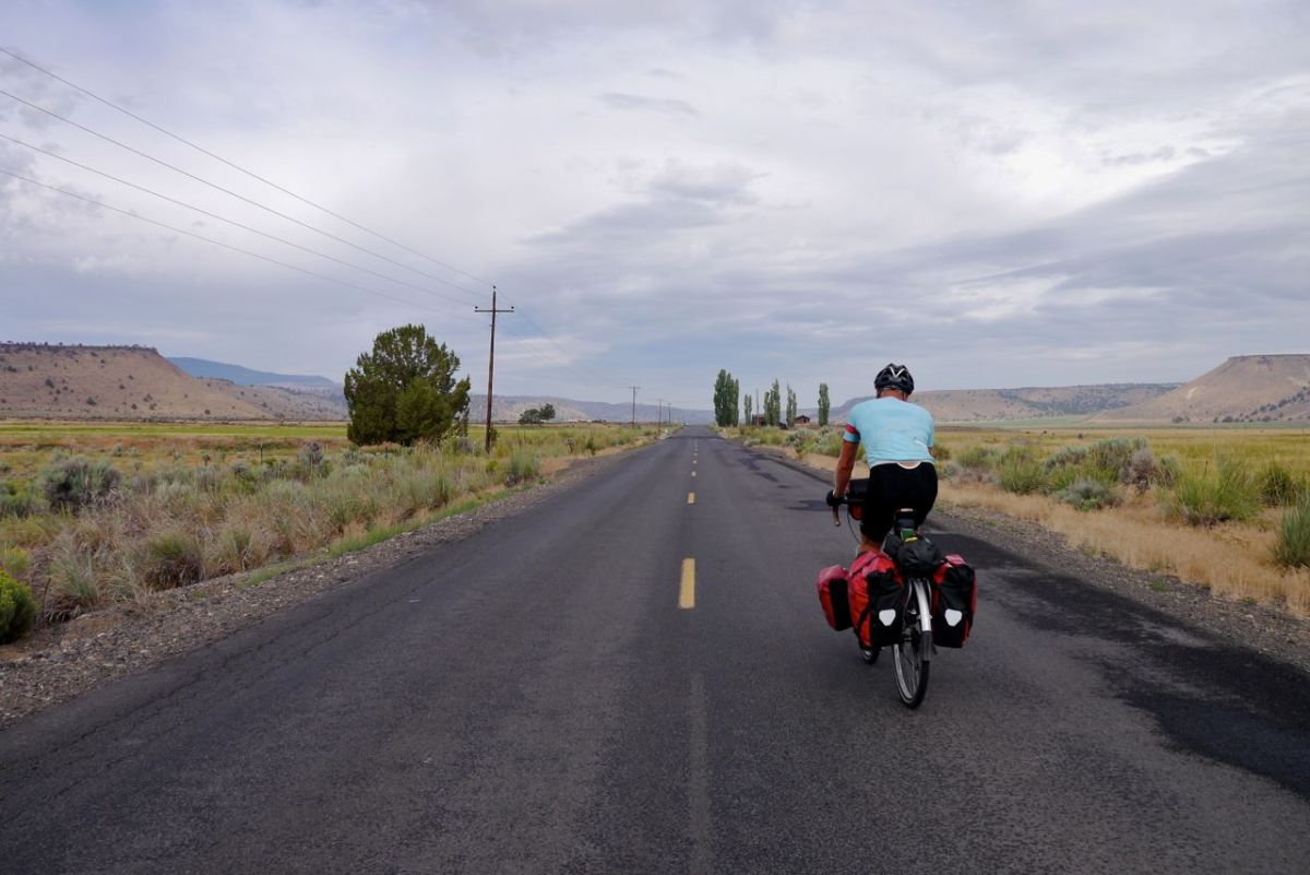
Old valley.
Old valley.

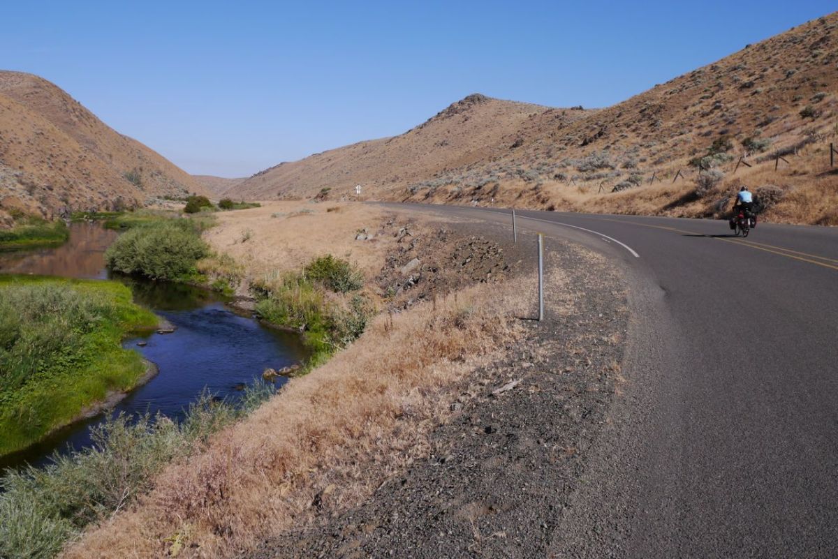
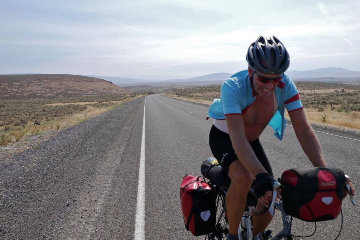
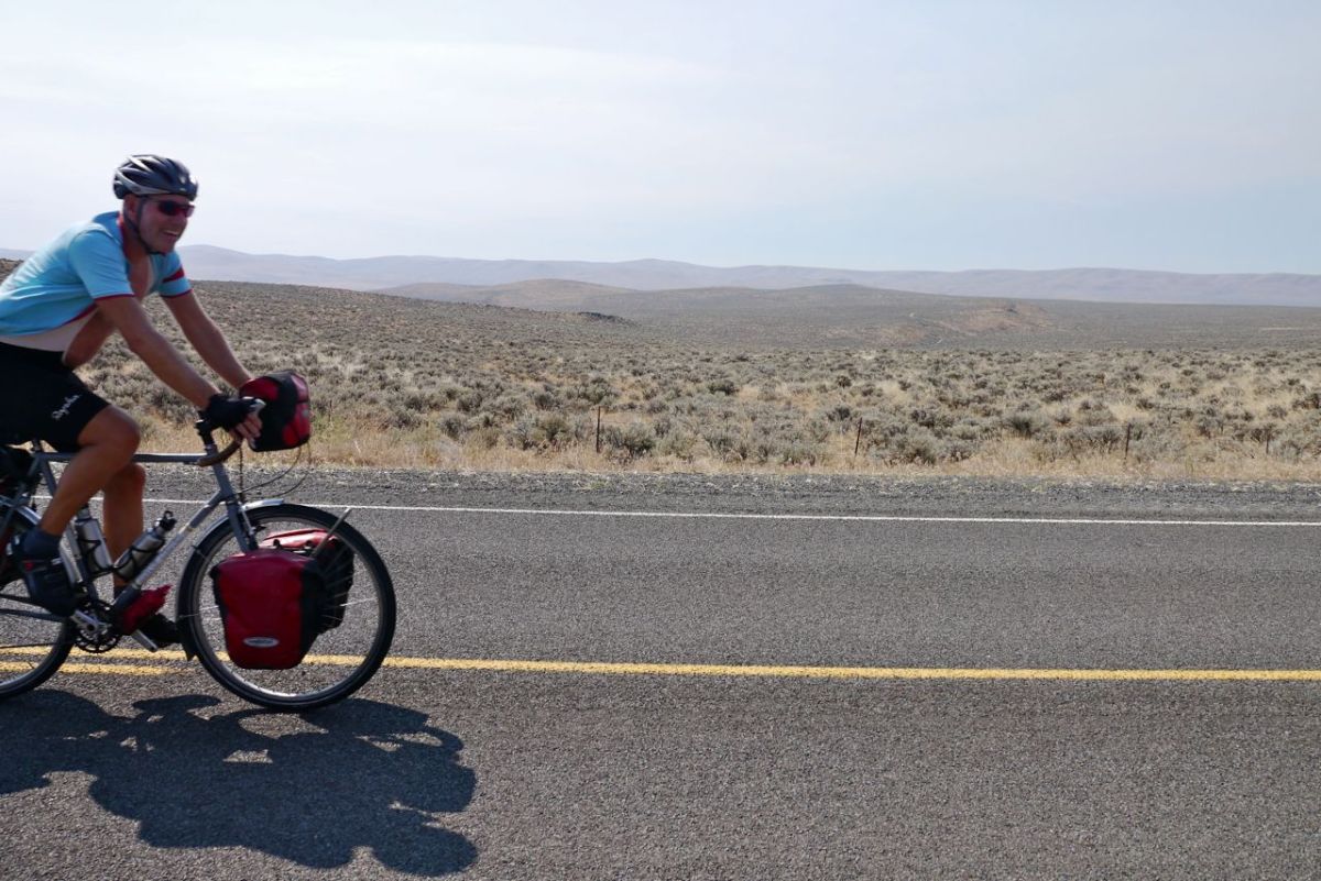
Again we are in high desert in the morning, but today it is cool enough to be comfortable as we ride under a cloudy sky. This is bliss, and for goodness sake we deserve it. The village of Post comes up at just the right distance to justify a coffee stop. It is the geographical centre of Oregon. This diversion road may turn out to be better than the official route. We climb through an area of Juniper, a new and wonderful smell and a beautiful day to ride a bike.
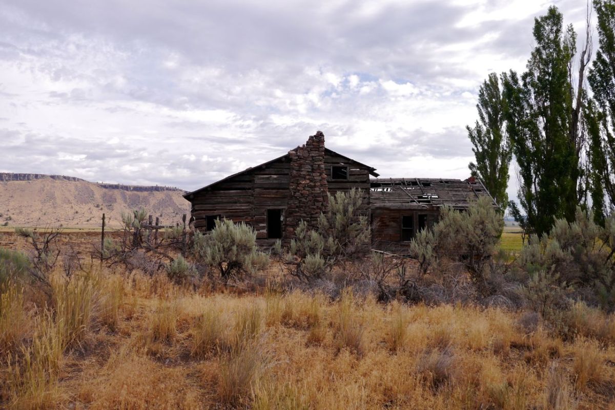
Old cabin.
Old cabin.


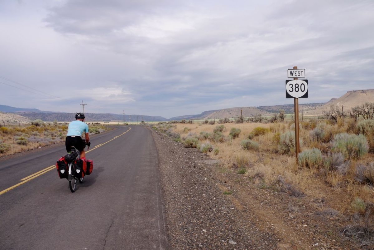
Route 380 West.
Route 380 West.
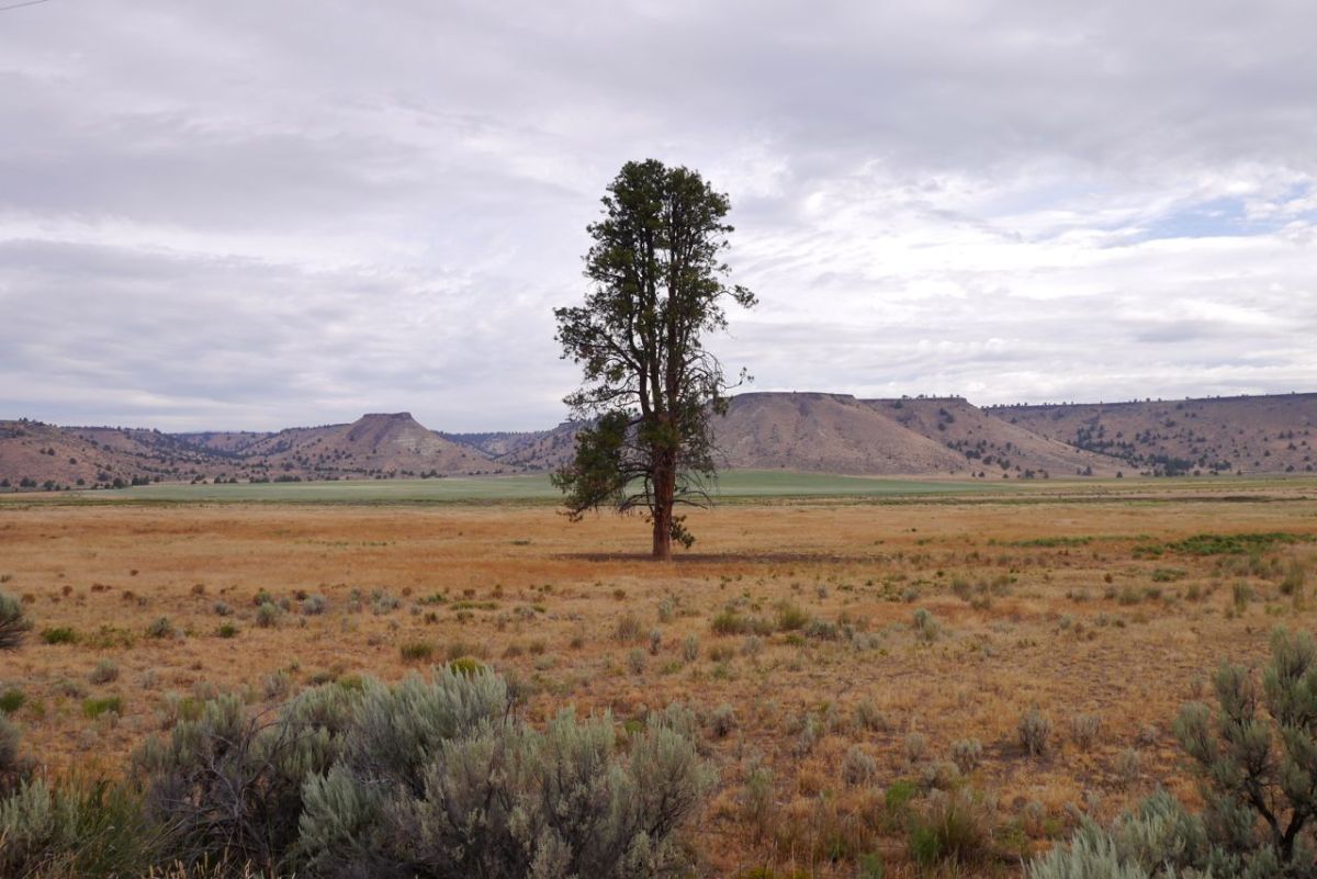
Single Tree.
Single Tree.
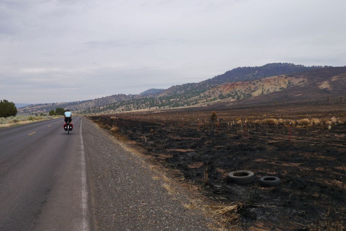
Remnants of the fires.
Water.
Water.
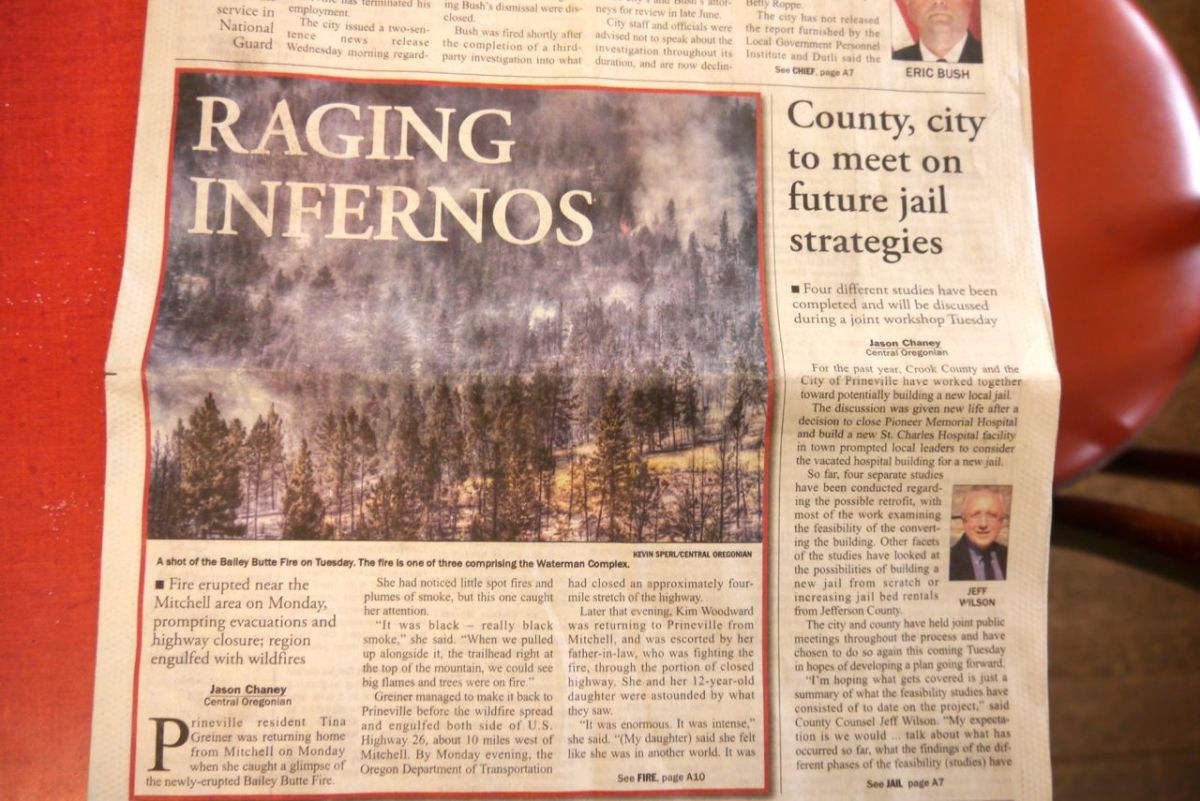
The news.
The news.

A little over 55 miles into the day we join HWY 26, the official route. Redmond, just big enough for a few motels to compete for trade. We pick the cheapest and settle in for a well needed shower. Just before the town we got a glimpse of the Cascade Mountain chain ahead. It is covered with more snow than we have seen for a long while. That problem is for the morning and fresher legs. We have enjoyed the diversion and start thinking about all the routes we have not taken across the country. All the possible choices that would have been a different adventure, a different slice of the onion.
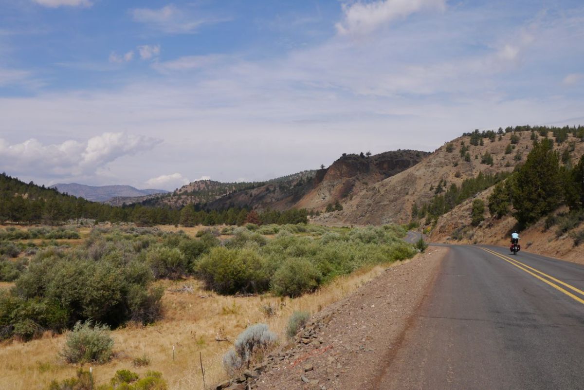
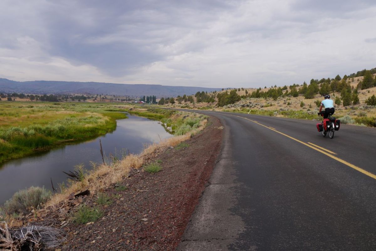
Paulina Hwy, Valley almost green, Oregon.


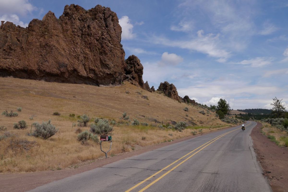
Rock formations on Paulina Hwy, Oregon.
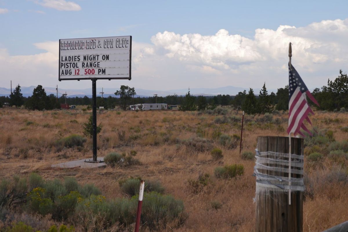
Ladies Night.
Ladies Night.

It is BIG CLIMB DAY and we look up the weather for the road ahead on the WWW. Cool, cold even and a 40% chance of rain later. This is perfect, and so is the warm-up ride to the town of Sisters. Up ahead hanging over the mountains there are dark clouds. These are oil black clouds, foreboding clouds, up to no good clouds that should have told us to stop where we are and ride up another day.
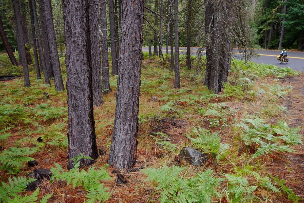
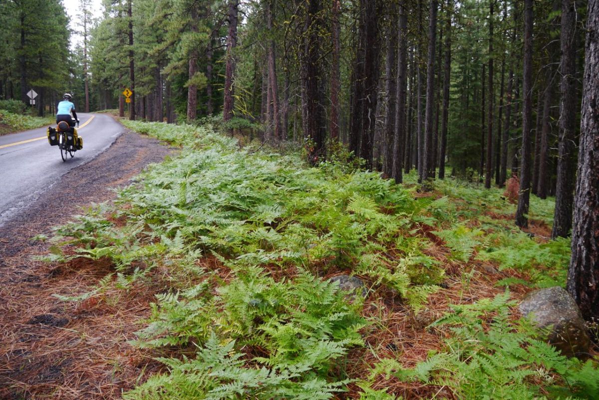
Start of the climb near Sisters, Oregon.


Ferns!
Ferns!

It starts to rain and it is big heavy drops of cold water. Forest is close, tight to the road on both sides. It is too hot to put on our coats to climb and any way this is quite fun. At 4% grades you feel like you are getting up the mountain almost for free. 4,000 miles of our journey across the USA come up on my metre, the end is getting near.
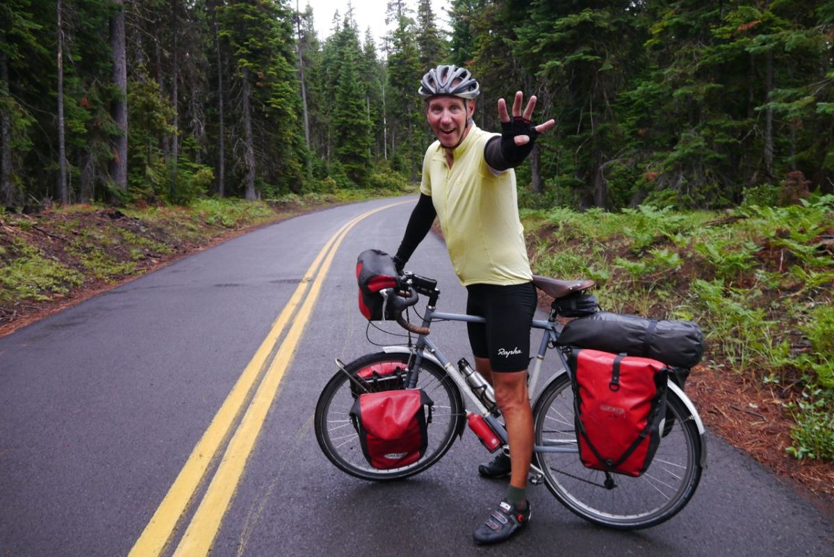
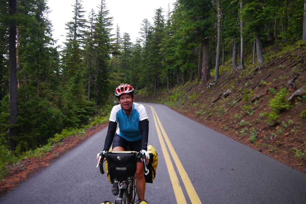
4000 miles done on the TransAm Route.


At least not overheating.
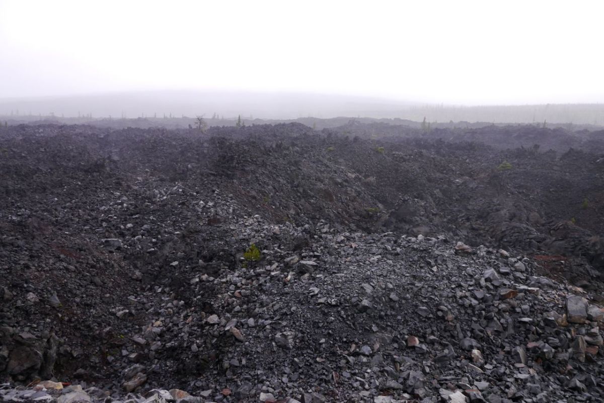
Lava flows on McKenzie Pass route, Cascades, Oregon.

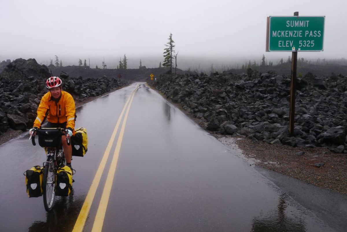
Mist clings to the tops of the trees and it is getting cooler as we climb. Near the summit the rain starts in earnest and the temperature drops. 53’f and down. Now there is less shelter and the wind hits and rain becomes horizontal. This is getting bad, horrid even.
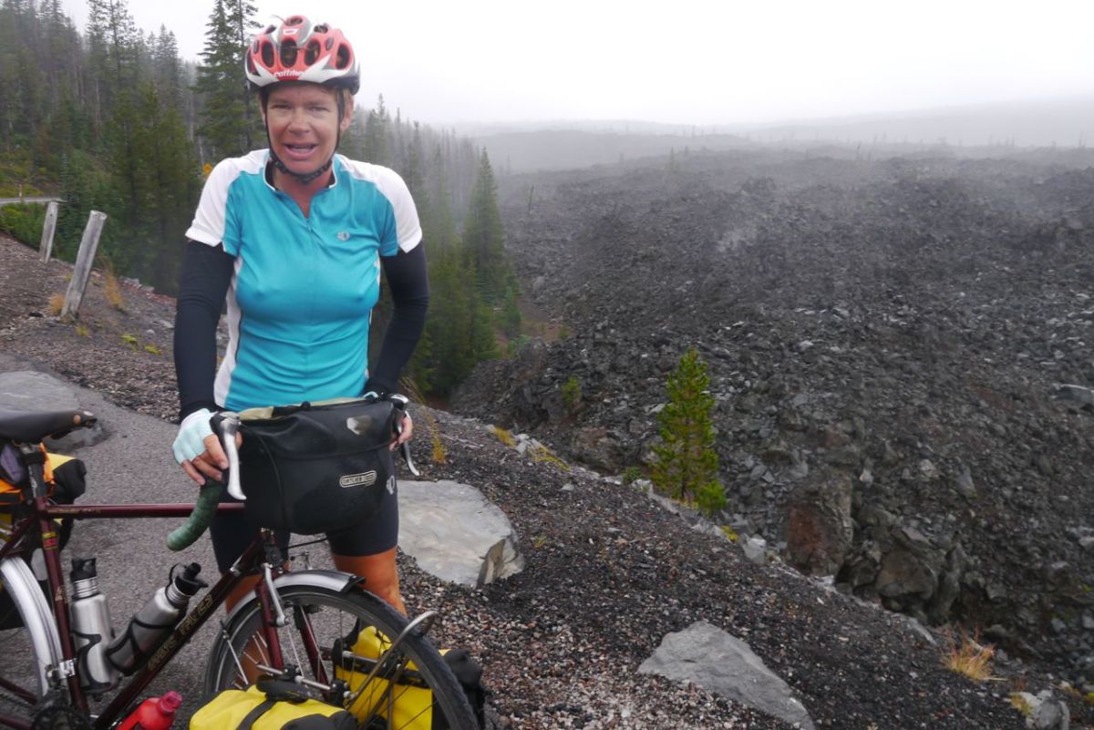
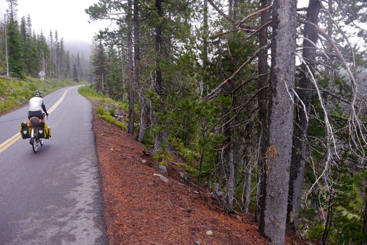
Sort of a view; McKenzie Pass climb, Oregon.


Last few Miles to the top. Cascades, Oregon.
McKenzie Pass and Lava flows.

There is just enough time and feeling left in my hands for a few photographs at the top before the camera has to be put away. Things are not good, and it is now 43’f. On with the coats and we try to drop height as quickly as possible. The road grit chews at my brakes and water sheets across the road. 40% chance of precipitation my arse! I have almost no brakes left.
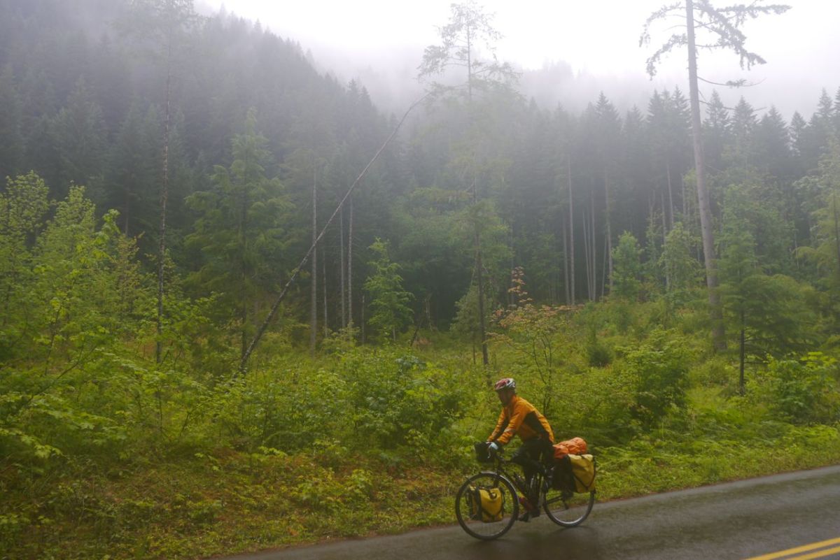
Around 2000ft of the McKenzie Pass downhill, West side. Oregon.

4,000ft and I can feel my legs shaking uncontrollably as we drop through lava fields and then a green world of moss and fern. Water is everywhere, and stinging our eyes as we try to control the bikes on hairpin bends. This is not safe, not by a long way. We have to stop to put on more clothes and adjust the brakes. I can hardly hold the multi-tool in shaking hands. Esther can not find her cold weather clothing. It was last seen months ago and has migrated to the depths of her bags.
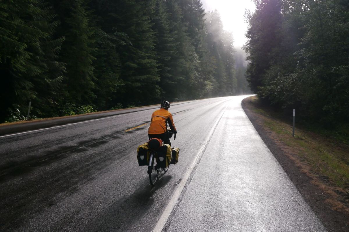
A bit of the sun.
A bit of the sun.

3,000ft and still horrid and my hands are cramping as I try to find some braking. The 180′ bends are heart stopping, steep and tight, with no margin for error. The first signs of habitation, a campground. We were going to camp, but that is not much of a option now. 2,000ft and then we turn right onto the main road. Horrid, horrid NO Vacancy sign at the only motel. There is a place 7 miles ahead and no other option. The rain has now stopped, but we are soaked to the skin.

We get a deal on a bunk room option. The sort of deal that only two horrid specimens with bloodshot eyes could be dealt. The warm shower may be the best in the known universe. Two of these sort of days ‘ back to back ‘ could end your journey and make you want to sell your bikes. The morning is like stepping out of our door back home. COOL DAMP AIR, we are back in our comfort zone.
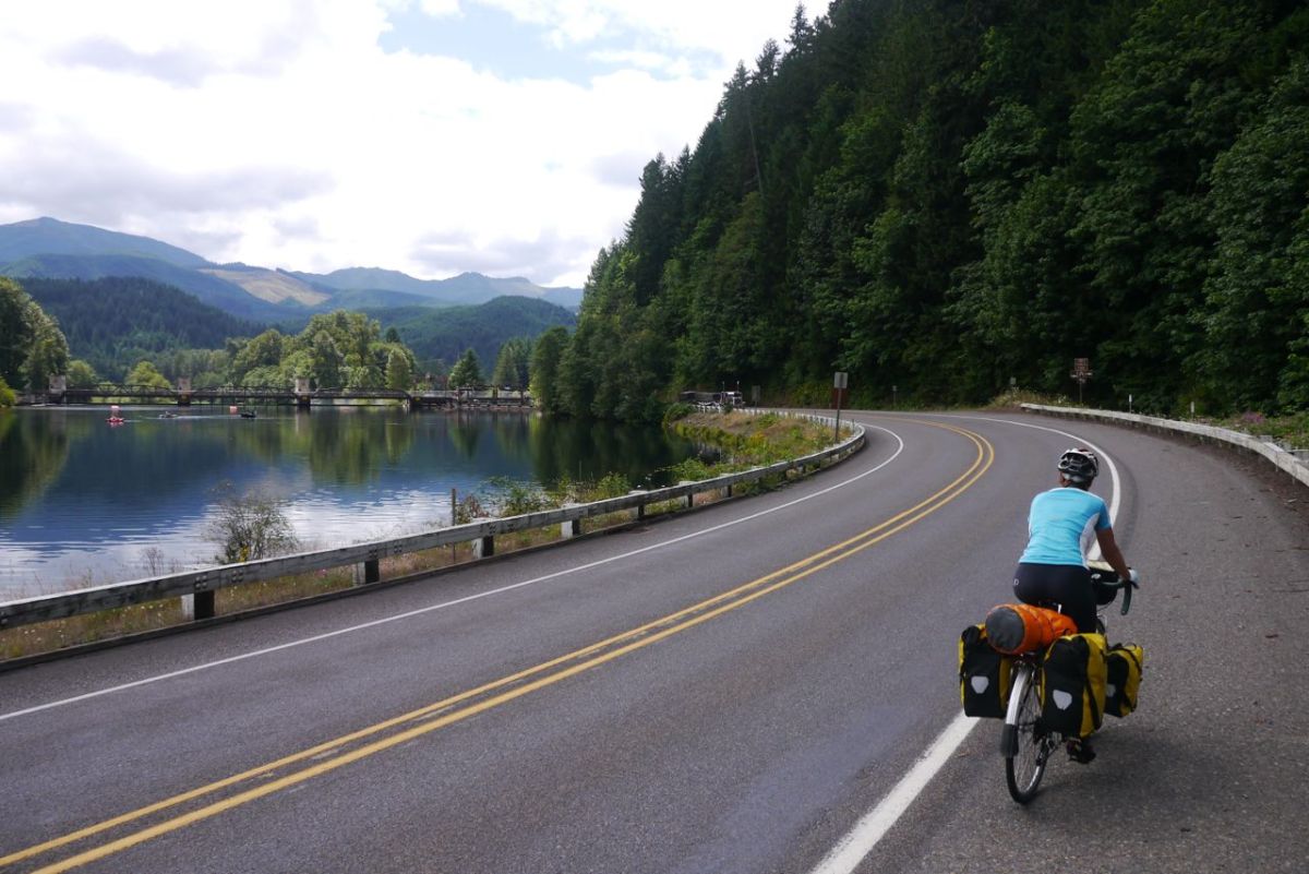
Road 126 along the McKenzie river, Oregon.

We join the road along the McKenzie River along with every RV and timber truck in this part of Oregon. The shoulder comes and goes and the traffic consists of people in a dreadful hurry who have never once had to contemplate how to overtake a person on a bicycle. We are counting down the miles to a side road that we are going to take into Eugene and hardly notice the beauties of the valley we are passing through.
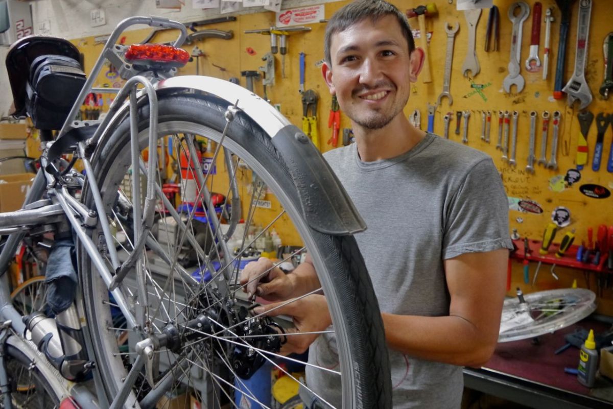
Al, the bike mechanic in Eugene.

A series of bike paths can be threaded together to take the weary touring cyclist into the heart of Eugene. We have to find a bike shop and deal with the series of things that have sensed that we are close to the end and all failed at once. Eugene is a good place for things to fall apart, wear out and go blank. The bike goes up on the stand and we stand and watch. There are few places where we have the ‘ I could live here ‘, conversation, and Eugene may be one of those. We are guests of Mike and Paula and of course talk until late and drink too much beer. Just out of curiosity I stand on the bath scales – 204lbs. We dial that into a app and the result is that at 25BMI I am seriously overweight. I demand a second opinion and a recount.
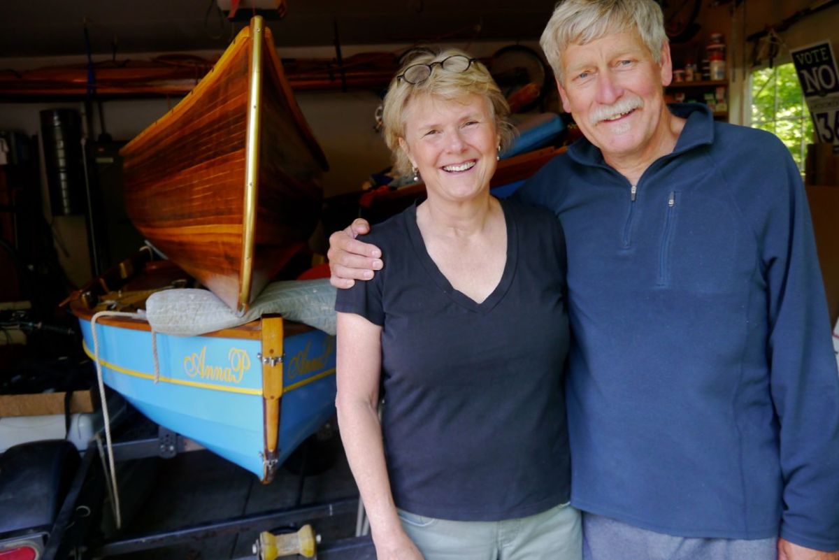
Mike and Paula
Mike and Paula

John Day, So close but stuck in Oregon’s tinder box.

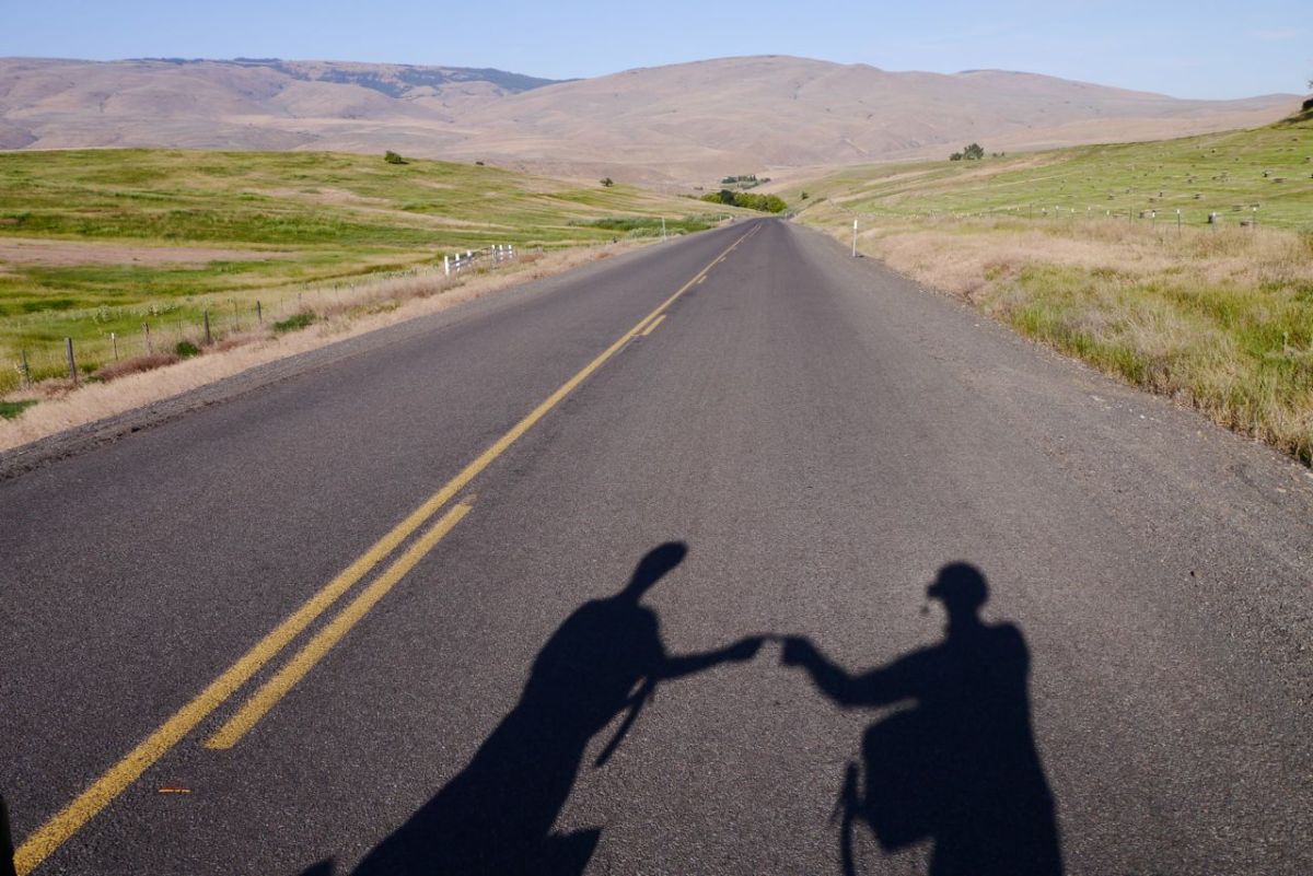
Long shadows.
Long shadows.

During our trip up and across the USA in year one of our travels, we were blocked by snow in the Sierra mountains. Now, after what feels like an eternity of riding in stupidly hot temperatures, the inevitable has happened. We are blocked by fires. Ahead, the town of Mitchell has been evacuated, as thousands of acres of forest have been engulfed by fire. Dry lightning, and I have seen estimates of 6,000 strikes, came across Oregon five days ago. Many started fires, and it is one of these that is blocking our route.

It is one thing to find your way around a road closure in a car. You do not mind a bit of doubt about your route. On a bike, you need to know. There is not enough information to plan a detour and no advice we can find. The obvious route takes you a hundred miles out of our way. A shorter way looks possible, but it is impossible to find if it is open.

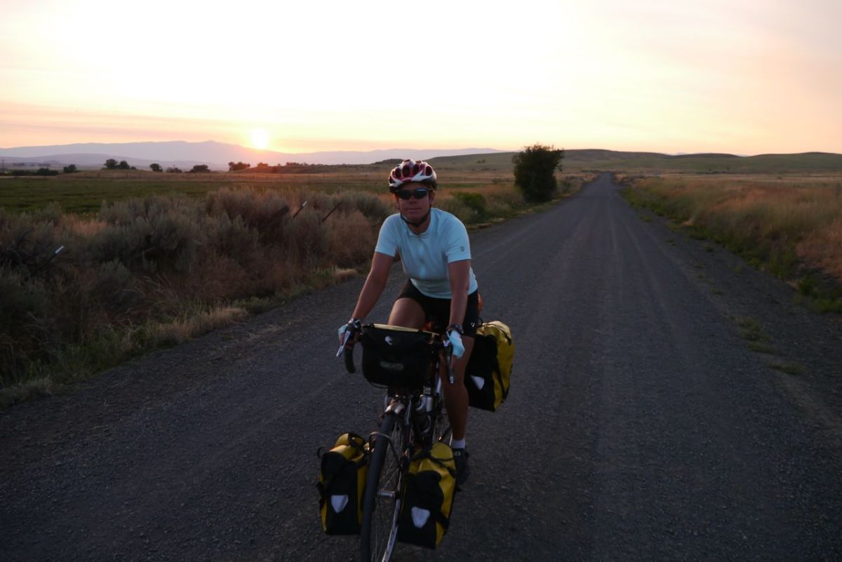
Dawn.
Dawn.

For what feels like weeks now, we have been getting on the road as early as possible to avoid the heat. Some days it got just too hot to ride and we had to quit short of where we wanted to be. Back in Cambridge, we were up at just after 5.00 am. Problem was, I had been up since just after midnight worrying about getting up at 5.00 after 2 hours of sleep the bikes are loaded and we are out into the cool dawn.

Entering Hells Canyon, Idaho.


Brownlee Dam, Idaho.

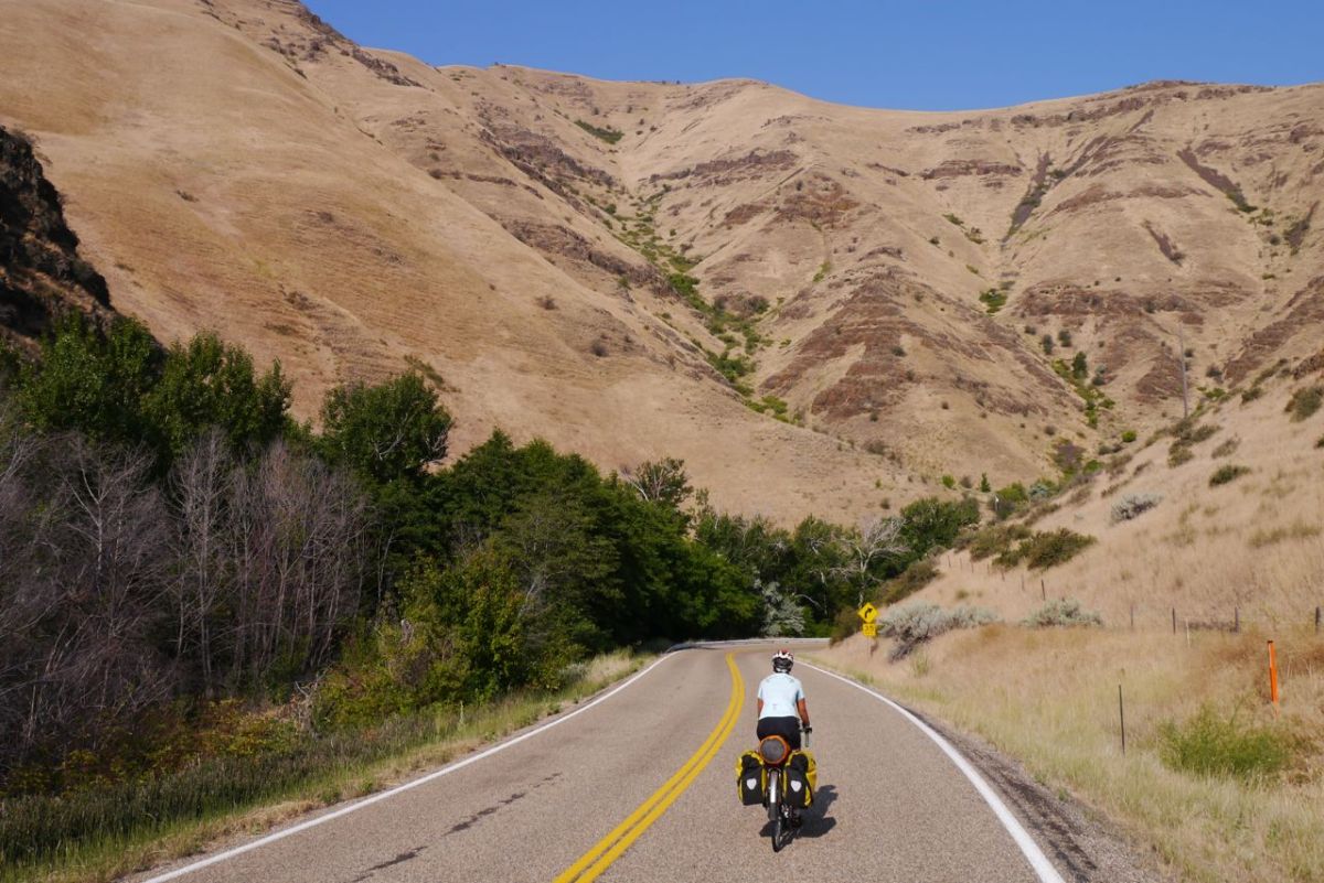
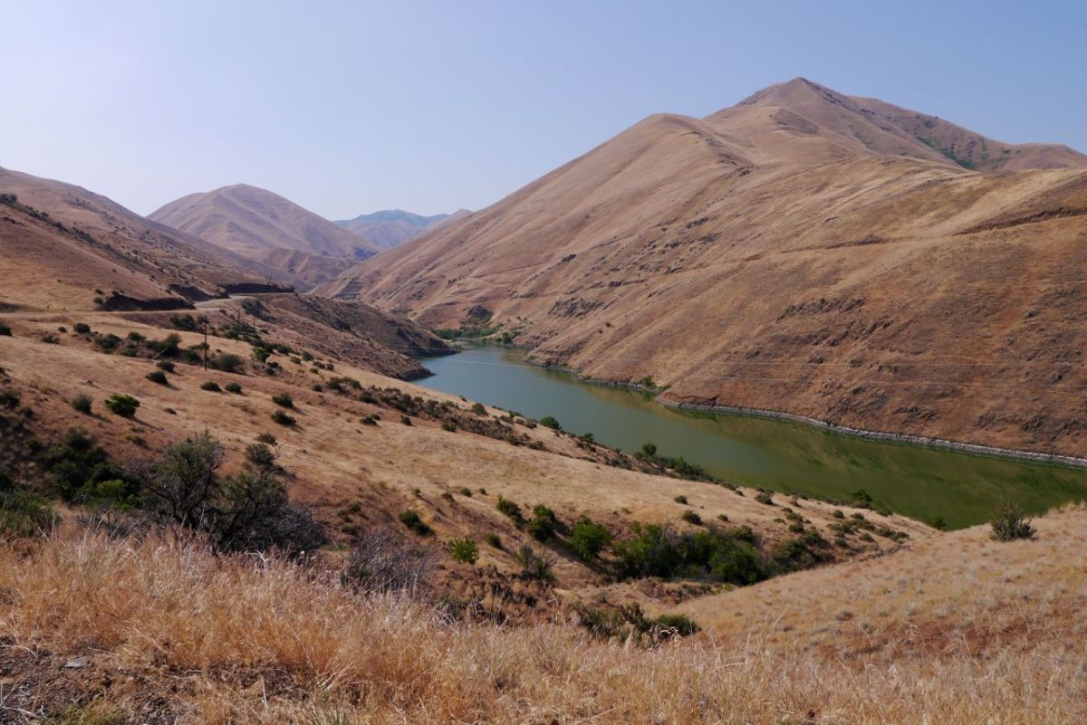
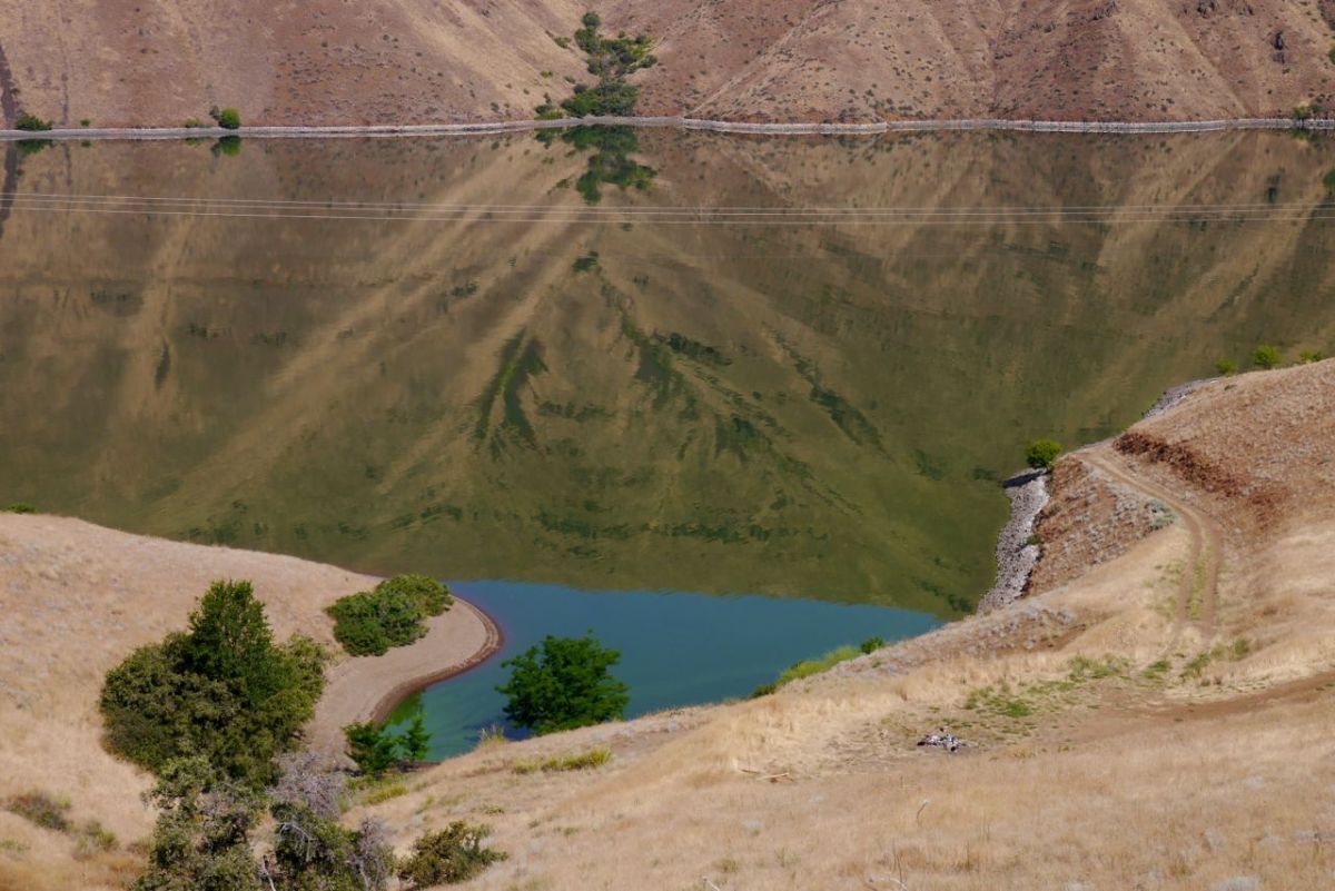
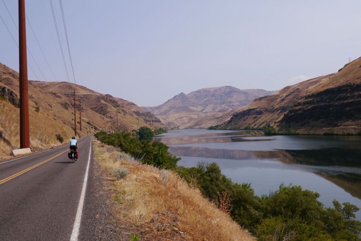
It is 69’f which I would love to last all day. It will not and the arm warmers will be off within 5 miles. Already I know I am having a bad day and the legs will not respond. I make the first climb, and there is a swooping descent that is fun enough. We are entering ‘ Hells Canyon ‘ and I am struggling on even the most gentle of climbs. This is not a good place to show up with anything other than your best game. Sun bleached mountains, some still holding the last of the snow, climb steeply around us. We are biking in a cleft in the landscape that holds the Snake River. It has been turned into reservoirs by high dams at several points. It is still, green with depth and not even slightly inviting.

Reflections.
Reflections.


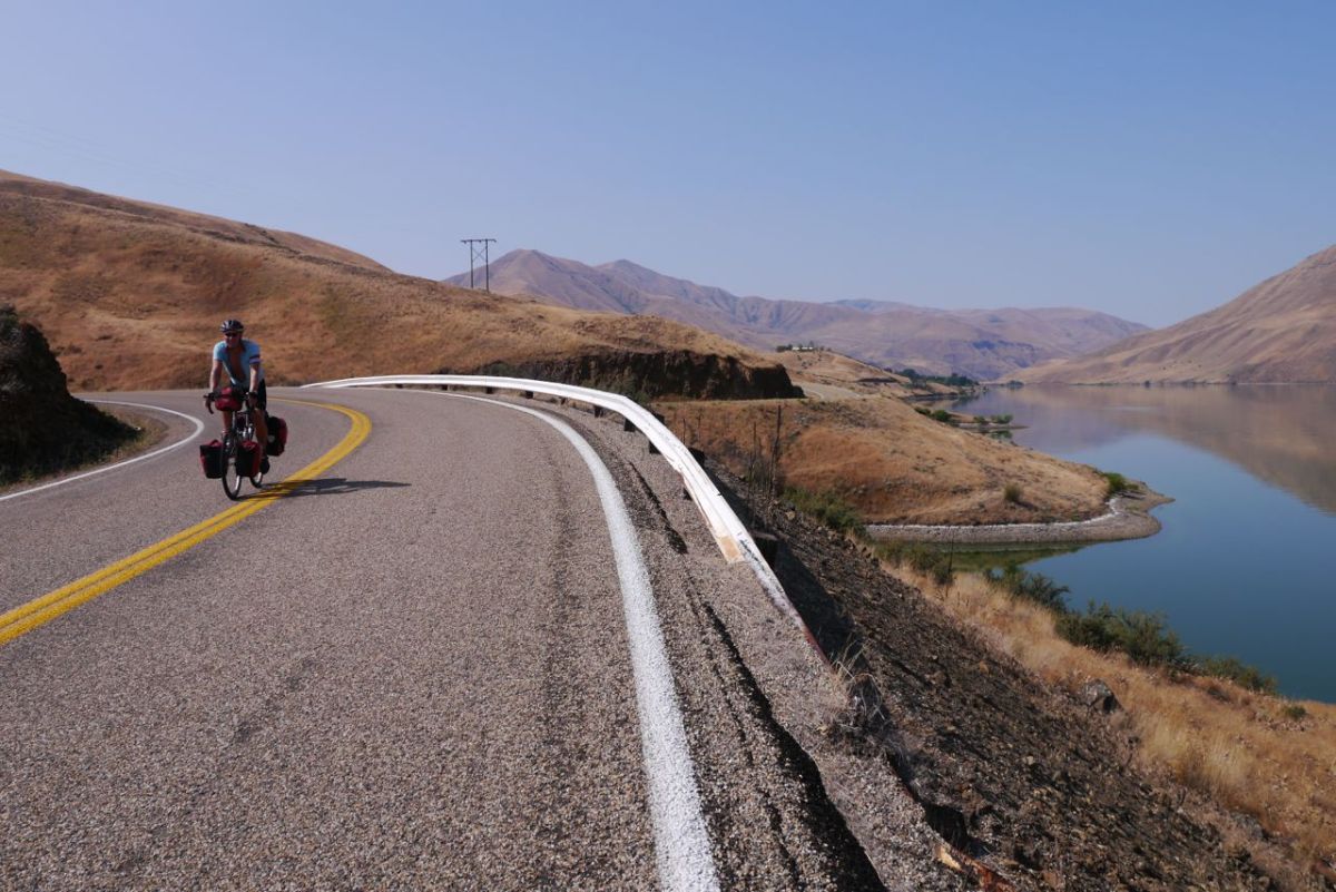
Road 71 along Brownlee Dam, Idaho.
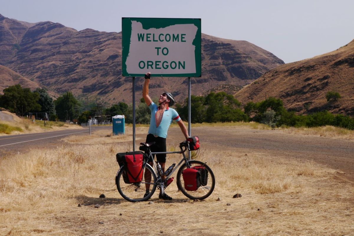
Entering Oregon and Pacific Time Zone.

The road rolls along one edge ,and then passes over the dam wall. On the other side we are in Oregon our final state before the ocean and our final time zone. We need to make a pass to go any further, but there is a campground at Oxbow Lake. We draw a line under a poor day in the saddle and pitch the tent. Sitting in the shade I start to wonder how we are going to continue if it is too hot to bike every day, this is crazy.

Oxbow-Brownlee Hwy, Oregon.
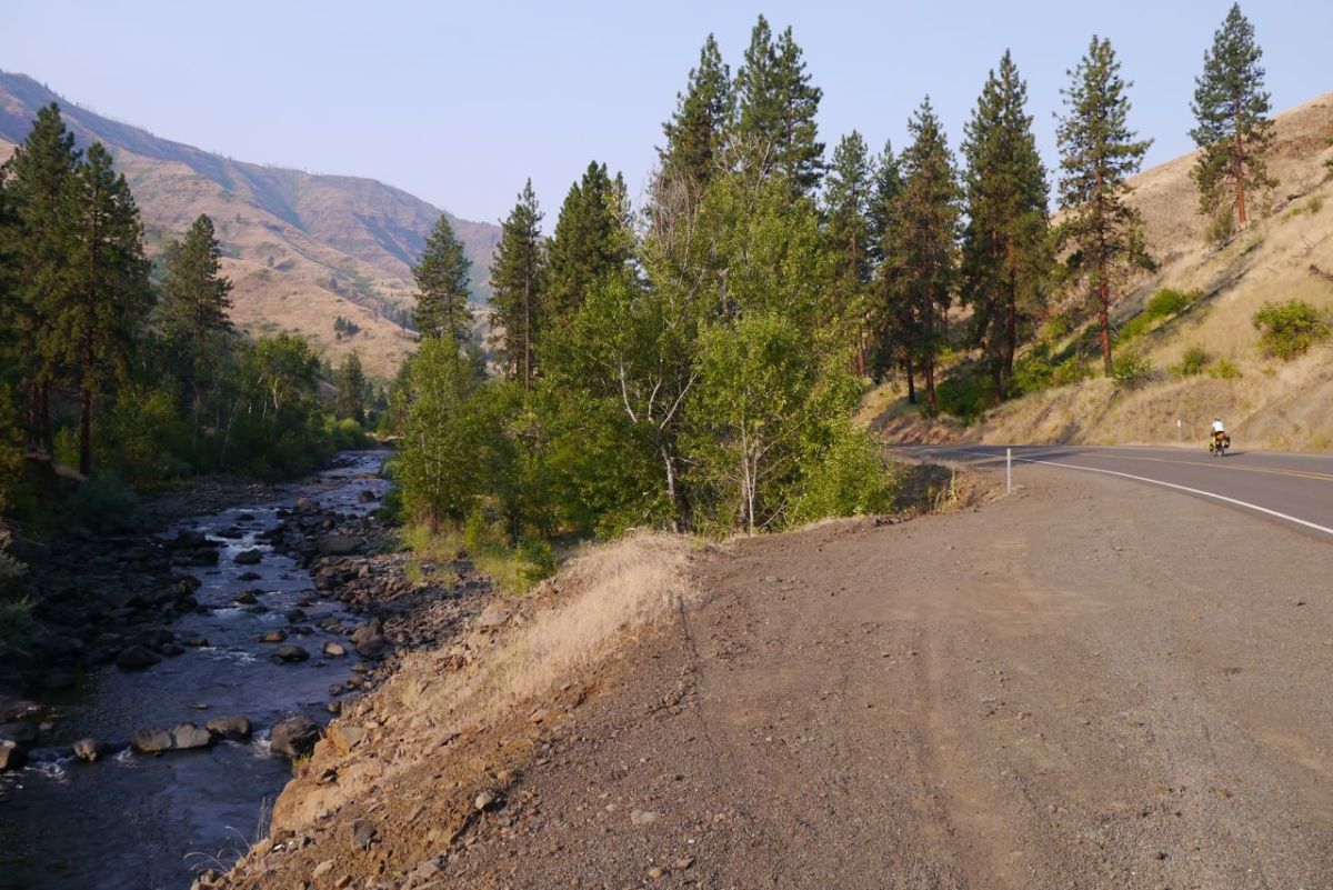
Along Pine Creek, Route 86, Oregon.
Some trees. Good to see.

We are up early again. It never feels early enough when you need time to cook breakfast and pack. Straight onto the climb that we should have done yesterday and we are back into Hells Canyon. There are already small fires burning unseen over the horizon. A smudge of blue sits across the vanishing point of the road. Up we climb, taking the curves towards 6,000 ft for the first time in a while. I think I can hear water running. The leaves of a tree are so brittle with sun they are chattering in the wind. 6,350 ft and we reach the top of the climb and catch the breeze a little.

Ranch.
Ranch.
Looking forward to the down.
Entering the basin around Brownlee Reservoir, Oregon.

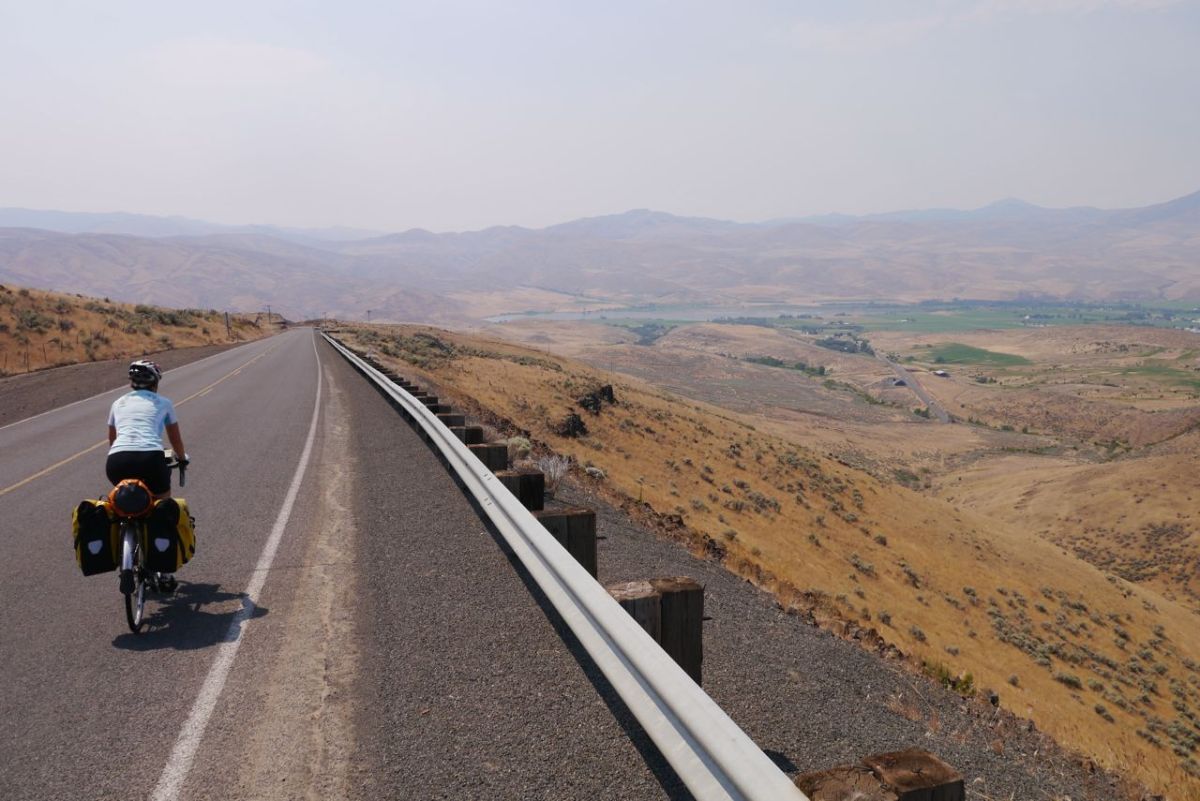
The descent is breathtaking and the road surface good enough to let the bike have it’s head and gather speed. There is a very distinct green area around the town of Richland where extensive irrigation allows a crop of hay for winter feed of the big black cattle raised here. This valley that we have dropped into is hotter than where we were. On the descent I can feel the air burning my legs. The tarmac is once again starting to bubble under the tyres as we ride.

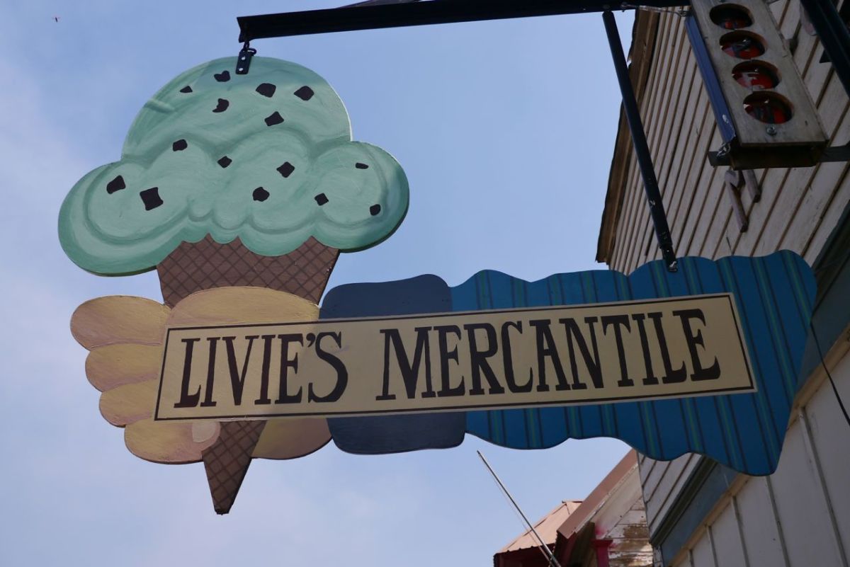
Livie's Mercentile, Richland, OR.
Livie’s Mercentile, Richland, OR.


Cafe, Richland, OR.
Cafe, Richland, OR.

We sit on a bench under the shade and have a think about things. This is impossible to ride in, and now a strong headwind has got up. The worst of the canyon are ahead and there is no camping bail-out. It has been a short day, but that is the end of the riding. There are times when I think this blog lacks drama. We do not have mechanical issues, broken spokes by the dozen, dehydration and doctor emergencies. Few things drop off the bike and almost nothing has ever broken. We make decisions like this – we stop here and camp, stay safe.

Great communal park, Richland, OR.

There is a 40 mile stretch to Baker City that can wait for the cool of the morning. We ride to the municipal camp spot at the end of town and make endless cups of tea. Dozing in the shade, we are both worrying about our slow progress towards the coast. Hells Canyon tourist pitch goes like this – ‘ We named it Hells Canyon to keep people away – not you, other people ‘.

Red car in the field.


Canyons along Powder River, road 86, Oregon.
Powder River, road 86, Oregon.
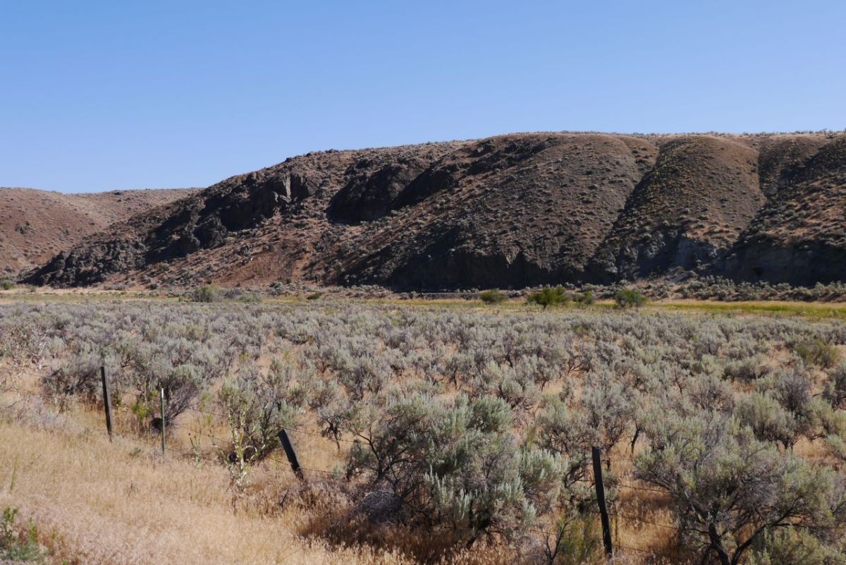
Sage bushes, along Powder River, road 86, Oregon.

We pick up Powder River as it cuts along the base of the Canyon. We are as ever, on the road early to get some cooler miles in. We have 40 miles to do and none of them are easy. There are more than enough dead snakes in the road to keep you focused. By 10.30 it is hot and the wind is beginning to build. We would not have managed this yesterday and would have been in a bad and possibly dangerous place.

Another blazing head wind when going up to the pass at 3,684ft.
High desert around Baker City, Oregon.

It is a hard 40 miles with a grind up a few nasty sharp hills. Baker City can not come soon enough. It is quite a shock. One of the biggest urban hits we have had for quite a while and the temptation is to stay. We compromise with a long sit in a cafe with good coffee and cakes. One bonus of all this heat and dry is that I have not been bitten by a mosquitos in a long while, but that is the only up side that I can think of.

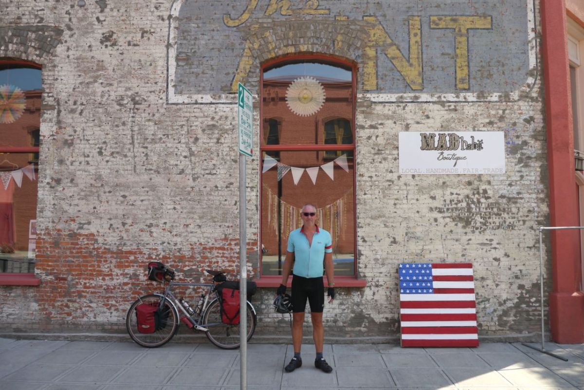
Mad, Baker City, OR.

We have a climb of 20 miles, and try to judge when we can leave to manage this in the slight cooling of late afternoon. It is so nice just sitting here and chatting with people. People say that there is forest and shade ahead and that the campground is in trees. This feels impossible and neither of us can quite remember when we had forest last. We are both excited at the prospect.

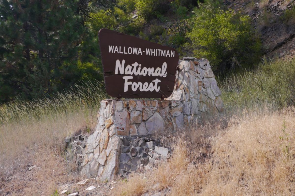
Wallowa -Whitman National Forrest, Oregon.

We set out again after 4.00 pm. I click the gps and can see the symbols for forest ahead. This is all too good and too impossible and rather easy to get wrong on a gps map. When you think of Oregon, you have an image in your mind of unbroken green of forest which we can now tell you is wrong in the east. Up ahead we can see trees. It is true.

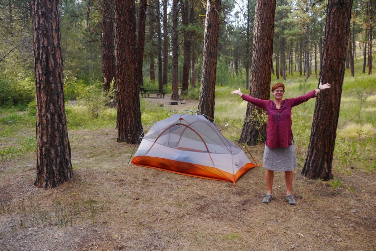
Our camp.
Our camp.
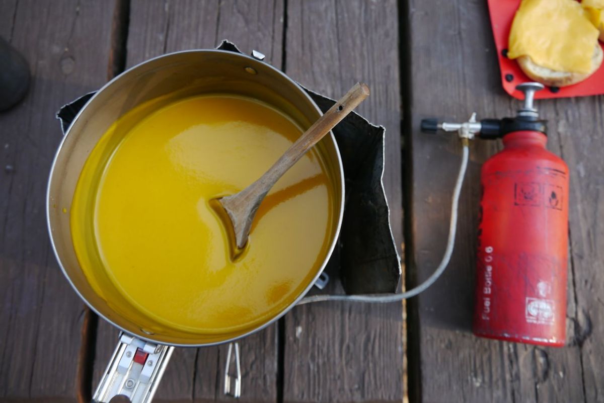
Butternut Squash soup.

The campground at Union Creek is also over 4,000 ft, and we sleep with just the bug net under sharp pin pricks of stars. A great sleep and a morning cool enough to need a hat as I get the porridge underway. There are three climbs ahead for today, every one of them is steep and goes up to over 5,000 ft. There is nothing better than a good night in a tent in a cool forest under a Spielberg sky, and we hope for many more.

Old  barn.
Old barn.

9.15 and the first of the passes done already. Ahead, that worrying blue smudge in the sky is getting darker, more defined and much more worrying. A cyclist stops to tell us that he had to take a lift in a truck and detour way,way,way,way north. We get the next climb done and start to descend. Then the trees vanish. Ahead is the town of Prairie City, so I think we could have guessed. We are back in the backed landscape that I am afraid to tell you, we now hate. In the town there is talk of 140 mile detours and the town we planned to pass through – Mitchell has been evacuated. Our road ahead is closed with no opening planned. We have a problem.

Pine Forrest,
Pine Forrest,

We book a hotel in the town of John Day to have some air-conditioned comfort to think about things. Google map is not too helpful, but a real paper old school map shows a possible short detour. Trying to get information about our options from the WWW. is impossible. We are stuck, so close to the end and can not go on. We take a day off, with promises of cooler weather rolling in and rain possible. The thought of detouring to the north into mountains is horrid. To the south is not much better unless we can take a short swerve around the fires. We sit in a cafe with air con and I write the blog. Every time we go outside we shake our heads. I have no idea how we ride in this heat, no idea at all, we live in Scotland for goodness sake.

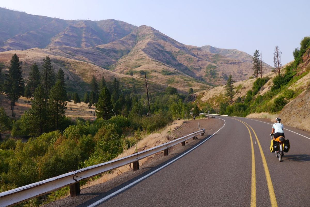
Road 26 near Prairie City, Oregon.